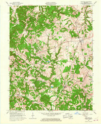
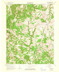
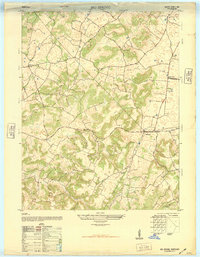
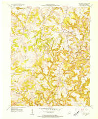
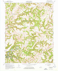
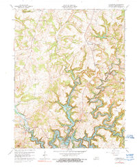
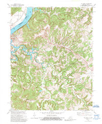
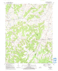
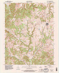
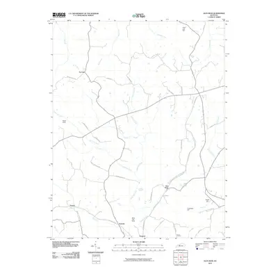
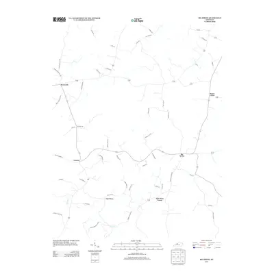
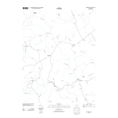
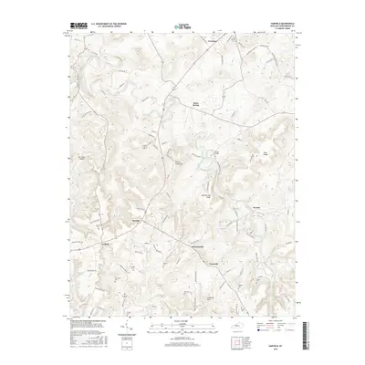
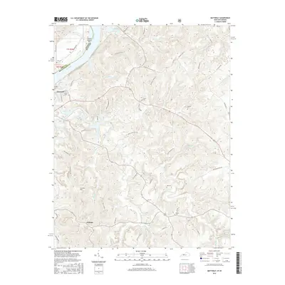
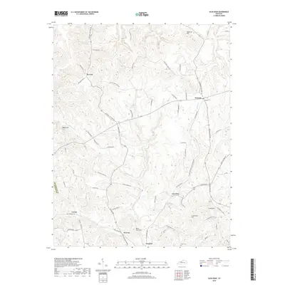
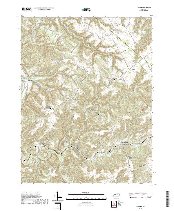
1963 Map of Glen Dean
USGS Topo · Published 1967About this map
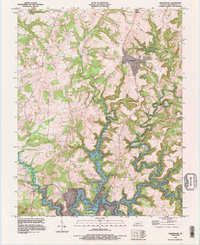
The Illinois Central railroad cuts through the heart of this Breckinridge County landscape, connecting the rural communities of Mcquady and Glen Dean. During the early 1960s, the region was characterized by a distinct mixture of agricultural persistence and active resource extraction, evidenced by the extensive Oil Field and numerous scattered Oil Wells throughout the hills. Water dictates the geography of the area, with the Rough River Reservoir appearing in the southeast and various drainages like Black Lick Creek and Long Lick Creek carving through the terrain.
Find a feature on this map
33 named features on this map. Tap any name to fly to it.
Don’t see what you’re looking for? This feature index may not catch every label — zoom into the map to look around manually.
Map Details
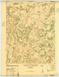
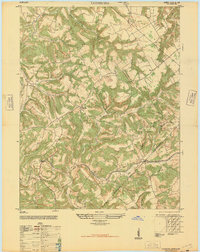
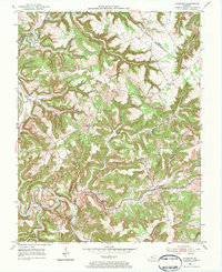
Editions of this 1963 Glen Dean Map
2 editions found
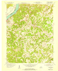
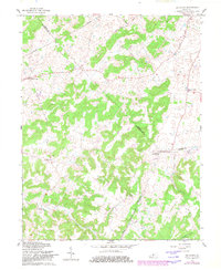
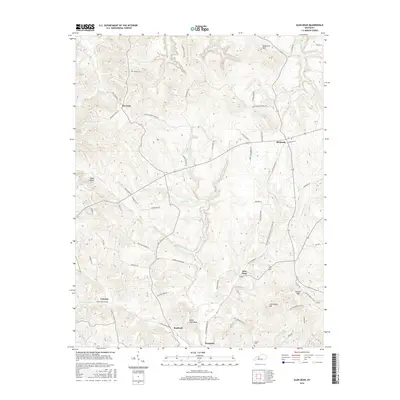
Historical Maps of Dempster Through Time
52 maps found
1947 Garfield
Breckinridge County, KY
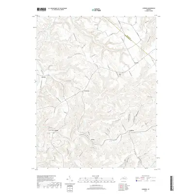
1947 Lodiburg
Breckinridge County, KY
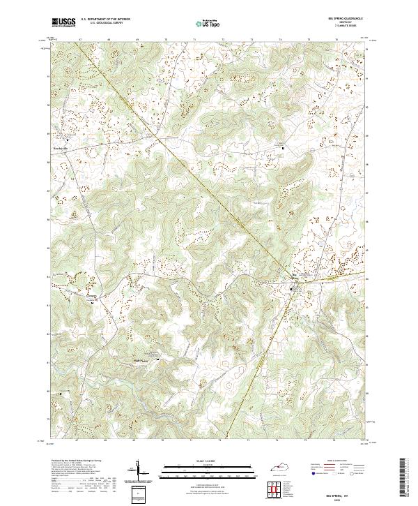
1948 Big Spring
Breckinridge County, KY
1953 Custer
Breckinridge County, KY
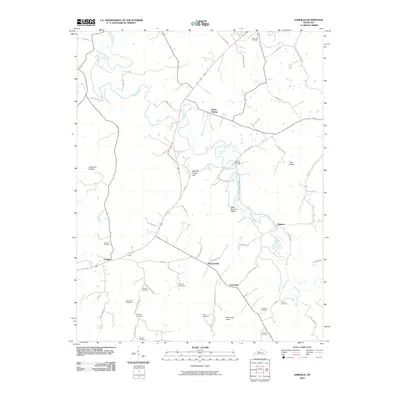
1953 Garfield
Breckinridge County, KY
1953 Glen Dean
Breckinridge County, KY
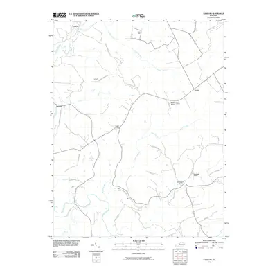
1953 Kingswood
Breckinridge County, KY
1953 Lodiburg
Breckinridge County, KY
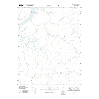
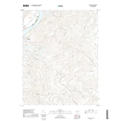
1953 Mattingly
Breckinridge County, KY
1961 Big Spring
Breckinridge County, KY
1963 Custer
Breckinridge County, KY
1963 Glen Dean
Breckinridge County, KY
1963 Kingswood
Breckinridge County, KY
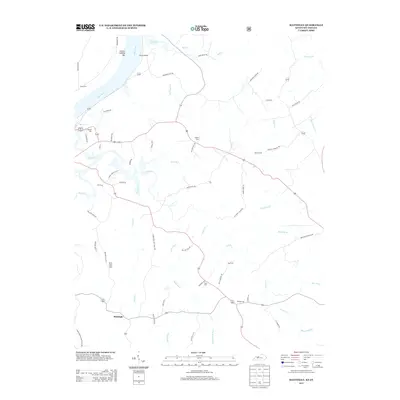
1970 Mattingly
Breckinridge County, KY
1991 Big Spring
Breckinridge County, KY
1993 Glen Dean
Breckinridge County, KY
1993 Kingswood
Breckinridge County, KY
2010 Big Spring
Breckinridge County, KY
2010 Custer
Breckinridge County, KY
2010 Garfield
Breckinridge County, KY
2010 Glen Dean
Breckinridge County, KY

2010 Kingswood
Breckinridge County, KY
2010 Lodiburg
Breckinridge County, KY
2010 Mattingly
Breckinridge County, KY
2013 Big Spring
Breckinridge County, KY
2013 Custer
Breckinridge County, KY
2013 Garfield
Breckinridge County, KY
2013 Glen Dean
Breckinridge County, KY

2013 Kingswood
Breckinridge County, KY
2013 Lodiburg
Breckinridge County, KY
2013 Mattingly
Breckinridge County, KY
2016 Big Spring
Breckinridge County, KY
2016 Custer
Breckinridge County, KY
2016 Garfield
Breckinridge County, KY
2016 Glen Dean
Breckinridge County, KY
2016 Kingswood
Breckinridge County, KY
2016 Lodiburg
Breckinridge County, KY
2016 Mattingly
Breckinridge County, KY
2019 Big Spring
Breckinridge County, KY
2019 Custer
Breckinridge County, KY
2019 Garfield
Breckinridge County, KY
2019 Glen Dean
Breckinridge County, KY

2019 Kingswood
Breckinridge County, KY
2019 Lodiburg
Breckinridge County, KY
2019 Mattingly
Breckinridge County, KY
2022 Big Spring
Breckinridge County, KY
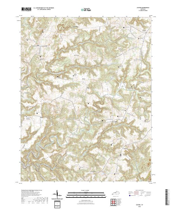
2022 Custer
Breckinridge County, KY
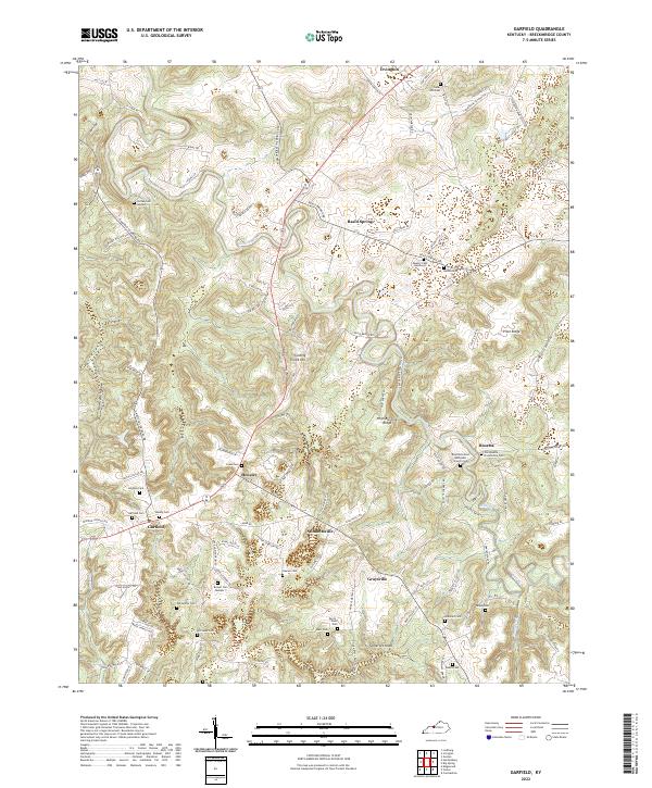
2022 Garfield
Breckinridge County, KY
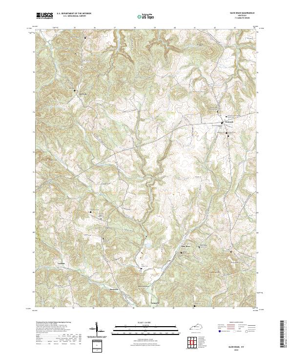
2022 Glen Dean
Breckinridge County, KY
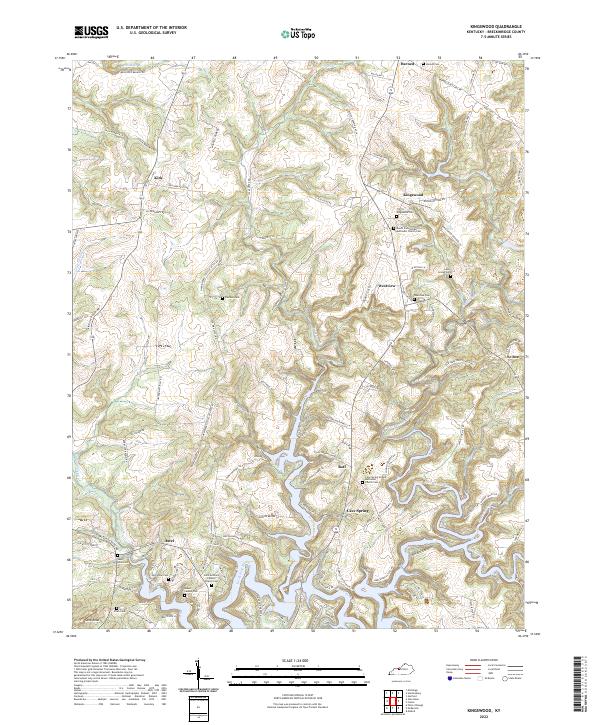
2022 Kingswood
Breckinridge County, KY
2022 Lodiburg
Breckinridge County, KY
2022 Mattingly
Breckinridge County, KY