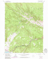
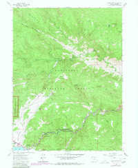
1962 Map of Glen Haven
USGS Topo · Published 1985About this map
Roosevelt National Forest dominates this mountain landscape, which includes a portion of Rocky Mountain National Park in the southwest corner. The settlement of Glen Haven serves as a central hub where Devils Gulch and West Fork converge into the North Fork Big Thompson River. This mid-century survey illustrates a rugged canyon economy, highlighting recreational and social landmarks like the North Fork Picnic Ground, the Glen Haven Picnic Ground, and the H-Bar-G Ranch. Toward the south, the Big Thompson River winds through its canyon toward Loveland Heights and Glen Comfort. Significant elevation shifts are marked by peaks such as Storm Mountain and Signal Mountain, while human activity is evidenced by a Quarry and Gravel Pit near the developed area of Lake Estes.
Find a feature on this map
41 named features on this map. Tap any name to fly to it.
Don’t see what you’re looking for? This feature index may not catch every label — zoom into the map to look around manually.
Map Details
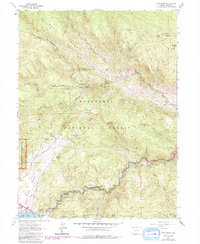
Editions of this 1962 Glen Haven Map
6 editions found
Other maps of this area

1905 · Mount Olympus
USGS Topo · 1:62,500

1907 · Mount Olympus
USGS Topo · 1:62,500

1907 · Livermore
USGS Topo · 1:125,000

1909 · Livermore
USGS Topo · 1:125,000

1915 · Longs Peak
USGS Topo · 1:125,000

1916 · Home
USGS Topo · 1:125,000

1919 · Rocky Mountain National Park
USGS Topo · 1:125,000

1920 · Home
USGS Topo · 1:125,000

1954 · Greeley
USGS Topo · 1:250,000

1957 · Greeley
USGS Topo · 1:250,000