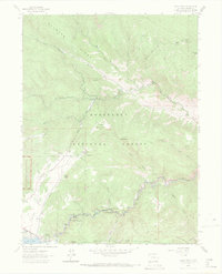
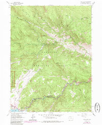
1962 Map of Glen Haven
USGS Topo · Published 1971About this map
Roosevelt National Forest and the eastern gateway to Rocky Mountain National Park define this 1962 landscape. The settlement of Glen Haven sits at the junction of Fox Creek and the North Fork Big Thompson River, connected to the growing vacation and residential hubs of Loveland Heights and Olympus Heights by the winding Devils Gulch Road. The eastern edge of Estes Park is visible, featuring the newly engineered Olympus Dam and Lake Estes, which fundamentally altered the local drainage and river system.
Find a feature on this map
45 named features on this map. Tap any name to fly to it.
Don’t see what you’re looking for? This feature index may not catch every label — zoom into the map to look around manually.
Map Details
Editions of this 1962 Glen Haven Map
6 editions found
Other maps of this area

1905 · Mount Olympus
USGS Topo · 1:62,500

1907 · Mount Olympus
USGS Topo · 1:62,500

1907 · Livermore
USGS Topo · 1:125,000

1909 · Livermore
USGS Topo · 1:125,000

1915 · Longs Peak
USGS Topo · 1:125,000

1916 · Home
USGS Topo · 1:125,000

1919 · Rocky Mountain National Park
USGS Topo · 1:125,000

1920 · Home
USGS Topo · 1:125,000

1954 · Greeley
USGS Topo · 1:250,000

1957 · Greeley
USGS Topo · 1:250,000