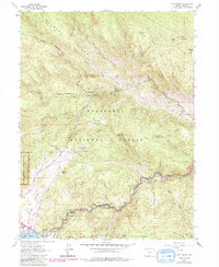
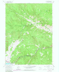
1962 Map of Glen Haven
USGS Topo · Published 1985About this map
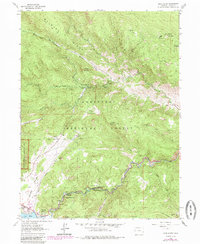
Glen Haven and the winding Big Thompson River canyon anchor this 1960s topographic survey of the Front Range foothills. The map documents the boundary where the Roosevelt National Forest meets the eastern edge of Rocky Mountain National Park, showcasing a landscape shaped by high ridges like Bulwark Ridge and prominent summits including Crosier Mountain and Storm Mountain. The 1980s purple revisions provide critical information-gain by highlighting more recent residential developments around Olympus Heights and the infrastructure surrounding Lake Estes and Olympus Dam. This edition preserves the mid-century recreation network of the area, from the North Fork Picnic Ground to the specialized paths of the Storm Mountain Trail and North Fork Trail. Local industry is noted through a scattered Gravel Pit and Quarry, illustrating the small-scale extraction occurring alongside the growing mountain community.
Find a feature on this map
44 named features on this map. Tap any name to fly to it.
Don’t see what you’re looking for? This feature index may not catch every label — zoom into the map to look around manually.
Map Details
Editions of this 1962 Glen Haven Map
6 editions found
Other maps of this area

1905 · Mount Olympus
USGS Topo · 1:62,500

1907 · Mount Olympus
USGS Topo · 1:62,500

1907 · Livermore
USGS Topo · 1:125,000

1909 · Livermore
USGS Topo · 1:125,000

1915 · Longs Peak
USGS Topo · 1:125,000

1916 · Home
USGS Topo · 1:125,000

1919 · Rocky Mountain National Park
USGS Topo · 1:125,000

1920 · Home
USGS Topo · 1:125,000

1954 · Greeley
USGS Topo · 1:250,000

1957 · Greeley
USGS Topo · 1:250,000