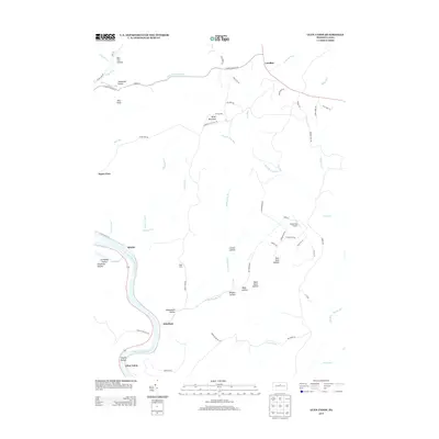
2013 Map of Glen Union
USGS Topo · Published 2013About this map
The West Br Susquehanna River carves a deep winding path through this central Pennsylvania landscape, anchoring several riverside settlements including Whetham, Ritchie, and Glen Union. The topography is defined by narrow runs and hollows that feed into the larger river valley, creating a complex drainage network featuring Rattlesnake Run, Hyner Run, and Lick Run. In the interior, higher elevations like Hyner Mountain and the overlook at Hyner View provide vantage points above the steep-walled Cleveland Hollow and Bear Pen Hollow.
Find a feature on this map
68 named features on this map. Tap any name to fly to it.
Don’t see what you’re looking for? This feature index may not catch every label — zoom into the map to look around manually.
Map Details
Editions of this 2013 Glen Union Map
This is the sole edition of this map. No revisions or reprints were ever made.
Other maps of this area
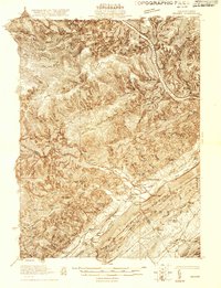
1921 · Howard
USGS Topo · 1:48,000
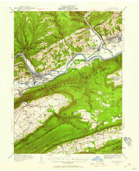
1921 · Lock Haven
USGS Topo · 1:62,500
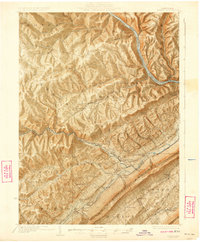
1923 · Howard
USGS Topo · 1:62,500
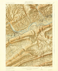
1923 · Lock Haven
USGS Topo · 1:62,500
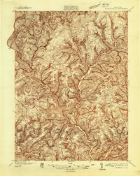
1937 · Waterville
USGS Topo · 1:48,000
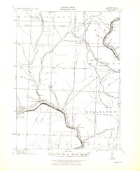
1943 · Hyner
USGS Topo · 1:62,500
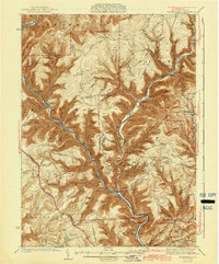
1943 · Waterville
USGS Topo · 1:62,500
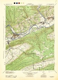
1944 · Lock Haven
USGS Topo · 1:62,500
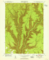
1946 · Young Womans Creek
USGS Topo · 1:24,000
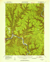
1946 · Renovo East
USGS Topo · 1:62,500
Featured Places
- Gallagher Township, PA
- Ritchie, Grugan Township
- Whetham, Grugan Township
- Lucullus, McHenry Township
- Chapman Township, PA