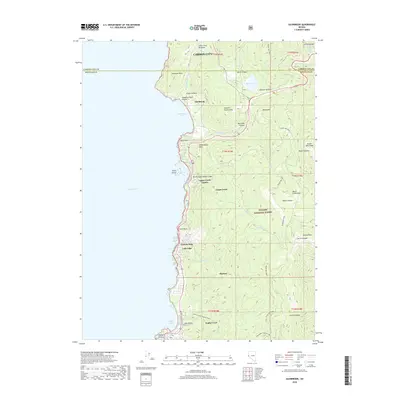
2018 Map of Glenbrook
USGS Topo · Published 2018About this map
Lake Tahoe defines the western edge of this landscape, where the Sierra Nevada meets the high desert. The settlement at Glenbrook sits tucked along Glenbrook Bay, while the residential communities of Logan Creek Estates, Lincoln Park, and Skyland dot the shoreline to the south. Moving inland, the terrain rises sharply toward the Carson Range, anchored by prominent summits like Genoa Peak and South Camp Peak.
Find a feature on this map
54 named features on this map. Tap any name to fly to it.
Don’t see what you’re looking for? This feature index may not catch every label — zoom into the map to look around manually.
Map Details
Editions of this 2018 Glenbrook Map
This is the sole edition of this map. No revisions or reprints were ever made.
Other maps of this area

1889 · Pyramid Peak
USGS Topo · 1:125,000

1889 · Markleeville
USGS Topo · 1:125,000

1891 · Carson
USGS Topo · 1:125,000

1891 · Markleeville
USGS Topo · 1:125,000

1891 · Truckee
USGS Topo · 1:125,000

1891 · Pyramid Peak
USGS Topo · 1:125,000

1893 · Carson
USGS Topo · 1:125,000

1893 · Markleeville
USGS Topo · 1:125,000

1893 · Truckee
USGS Topo · 1:125,000

1895 · Pyramid Peak
USGS Topo · 1:125,000