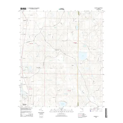
2015 Map of Glendale
USGS Topo · Published 2015About this map
Glendale serves as the northern anchor of this Walton County landscape, which transitions from the residential outskirts of DeFuniak Springs into a network of small rural settlements and timberlands. The terrain is defined by a dense concentration of water bodies, including the prominent Lake Cassidy and several smaller basins like Richland Pond, Blue Pond, and Spring Lake Number One. These lakes, alongside winding watercourses such as Gum Creek and Sandy Creek, historically dictated the placement of early homesteads and community hubs.
Find a feature on this map
90 named features on this map. Tap any name to fly to it.
Don’t see what you’re looking for? This feature index may not catch every label — zoom into the map to look around manually.
Map Details
Editions of this 2015 Glendale Map
This is the sole edition of this map. No revisions or reprints were ever made.
Other maps of this area

1935 · De Funiak Springs
USGS Topo · 1:48,000

1938 · De Funiak Springs
USGS Topo · 1:62,500

1948 · Ponce De Leon
USGS Topo · 1:24,000

1949 · Glendale
USGS Topo · 1:62,500

1949 · Hobbs Crossroads
USGS Topo · 1:24,000

1950 · Hobbs Cross Roads
USGS Topo · 1:24,000

1950 · Prosperity
USGS Topo · 1:24,000

1950 · Ponce De Leon
USGS Topo · 1:24,000

1951 · Glendale
USGS Topo · 1:62,500

1954 · Tallahassee
USGS Topo · 1:250,000