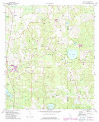
1973 Map of Glendale
USGS Topo · Published 1987About this map
Glendale serves as a primary settlement point in this section of the Florida Panhandle, situated amidst a landscape defined by an intricate network of bays and creek branches. The area is characterized by significant water features like Lake Cassidy and Juniper Lake, which support local infrastructure such as the State Fish Hatchery and several picnic areas. Small communities and family centers are anchored by numerous country churches, including Gum Creek Ch, Friendship Ch, and Center Ridge Ch, reflecting the rural social fabric of Walton and Holmes counties during the 1970s and 1980s.
Find a feature on this map
56 named features on this map. Tap any name to fly to it.
Don’t see what you’re looking for? This feature index may not catch every label — zoom into the map to look around manually.
Map Details
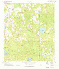
Editions of this 1973 Glendale Map
2 editions found
Other maps of this area

1935 · De Funiak Springs
USGS Topo · 1:48,000

1938 · De Funiak Springs
USGS Topo · 1:62,500

1948 · Ponce De Leon
USGS Topo · 1:24,000

1949 · Glendale
USGS Topo · 1:62,500

1949 · Hobbs Crossroads
USGS Topo · 1:24,000

1950 · Hobbs Cross Roads
USGS Topo · 1:24,000

1950 · Prosperity
USGS Topo · 1:24,000

1950 · Ponce De Leon
USGS Topo · 1:24,000

1951 · Glendale
USGS Topo · 1:62,500

1954 · Tallahassee
USGS Topo · 1:250,000