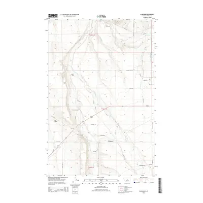
2014 Map of Glengarry
USGS Topo · Published 2014About this map
Glengarry and Hanover anchor this central Montana landscape, where the high plains break into a network of coulees and creek beds. The drainage patterns of Beaver Cr and Cottonwood Cr dictate the placement of early road networks, including Hanover Rd and the Cottonwood Creek Rd. Topographic landmarks such as Indian Rock and The Point rise above the drainage of Beaver Cr, while the aptly named The Gap provides a natural corridor through the undulating terrain. Local infrastructure is noted by the Beaver Creek Bridge and various rural ranch roads that connect the dispersed settlements. The presence of King Coulee and Crow Coulee illustrates the erosional character of the region, defining the ranching and agricultural boundaries that have persisted into the twenty-first century.
Find a feature on this map
47 named features on this map. Tap any name to fly to it.
Don’t see what you’re looking for? This feature index may not catch every label — zoom into the map to look around manually.
Map Details
Editions of this 2014 Glengarry Map
This is the sole edition of this map. No revisions or reprints were ever made.
Other maps of this area

1889 · Big Snowy Mountain
USGS Topo · 1:250,000

1893 · Big Snowy Mountain
USGS Topo · 1:250,000

1941 · Lewistown
USGS Topo · 1:62,500

1944 · Lewistown
USGS Topo · 1:62,500

1954 · Roundup
USGS Topo · 1:250,000

1954 · Lewistown
USGS Topo · 1:250,000

1958 · Roundup
USGS Topo · 1:250,000

1959 · Lewistown
USGS Topo · 1:250,000

1970 · Danvers
USGS Topo · 1:24,000

1970 · Glengarry
USGS Topo · 1:24,000