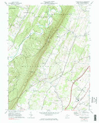
1965 Map of Glengary
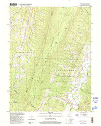
USGS Topo · Published 1987About this map
Third Hill Mountain and Warm Springs Ridge dominate this section of the Appalachian Valley and Ridge province, forming a rugged corridor of parallel peaks and valleys along the West Virginia and Virginia border. In the mid-1960s, this landscape was defined by its secluded settlements and the expansive Sleepy Creek Public Hunting and Fishing Area. Small rural communities like Shanghai, Glengary, and Ganotown are connected by winding roads and focused around local institutions such as Mt Carmel Ch and the Back Creek Valley Sch.
Find a feature on this map
44 named features on this map. Tap any name to fly to it.
Don’t see what you’re looking for? This feature index may not catch every label — zoom into the map to look around manually.
Map Details
Editions of this 1965 Glengary Map
2 editions found
Historical Maps of Glengary Through Time
9 maps found

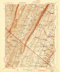
1914 Gerrardstown
Berkeley County, WV

1916 Gerrardstown
Berkeley County, WV
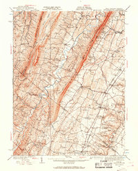
1937 Gerrardstown
Berkeley County, WV
1943 Gerrardstown
Berkeley County, WV
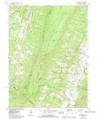
1965 Glengary
Berkeley County, WV
1972 Tablers Station
Berkeley County, WV
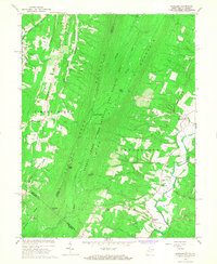
1996 Glengary
Berkeley County, WV
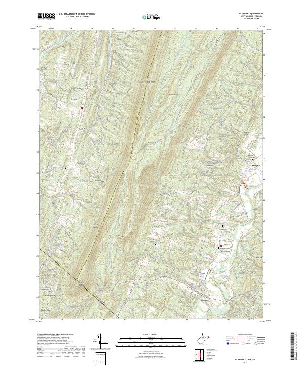
2023 Glengary
Berkeley County, WV
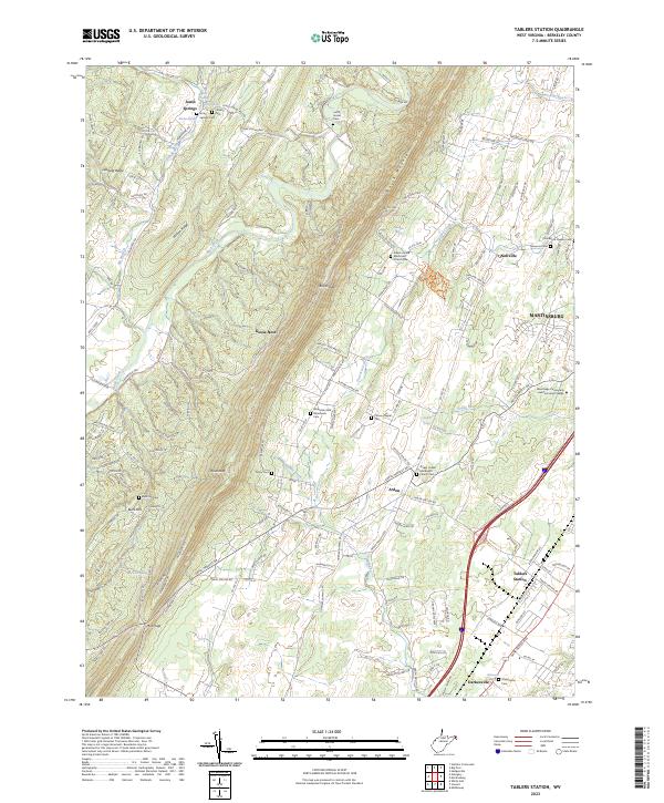
2023 Tablers Station
Berkeley County, WV