Loading...
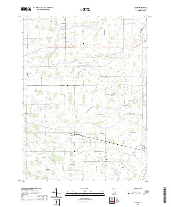
Loading map...2023 Map of Glenmore
USGS Topo · Published 2023About this map
Glenmore and the surrounding agricultural townships of Van Wert County are characterized by a grid of rural roads and scattered crossroad settlements. The landscape is defined by the drainage patterns of Town Creek, Hoaglin Creek, and Maddox Creek, which dictate the placement of local infrastructure. Small hubs like Dull, Abanaka, and Schumm represent the enduring footprint of early Ohio settlement patterns, where churches and family cemeteries remain the primary landmarks.
Find a feature on this map
44 named features on this map. Tap any name to fly to it.
Don’t see what you’re looking for? This feature index may not catch every label — zoom into the map to look around manually.
Map Details
Date Portrayed2023
Date Published2023
PublisherU.S. Geological Survey
Map TypeTopographic
Scale1:24000
Physical Dimensions24 x 29 inches
Editions of this 2023 Glenmore Map
This is the sole edition of this map. No revisions or reprints were ever made.
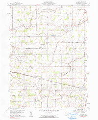
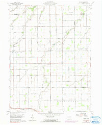
Historical Maps of Schumm Through Time
4 maps found
Featured Locations
Source Details
SourceU.S. Geological Survey
CopyrightPublic Domain