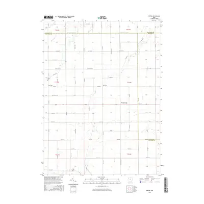
2023 Map of Wetsel
USGS Topo · Published 2023About this map
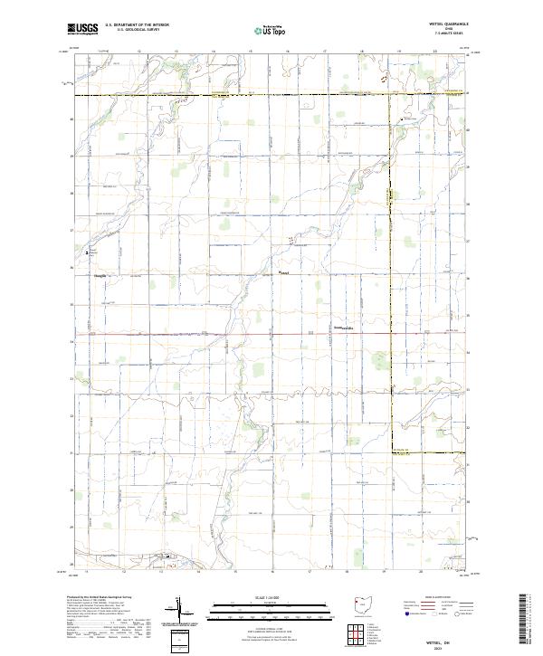
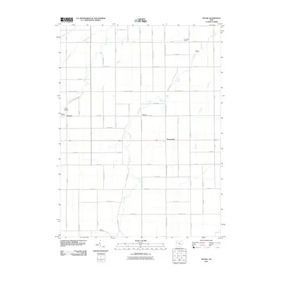
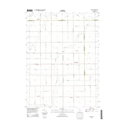
Wetzel and Seamersville anchor the central rural landscape of this 2023 survey, which documents the enduring agricultural patterns of Van Wert County. The terrain is defined by a dense grid of township roads and several significant waterways, including the winding course of Town Creek and Dog Creek. This modern record of the area preserves the locations of vital local landmarks for genealogists, such as Mount Pleasant Cem near Hoaglin and Dotson Cem in the northeastern reaches. The intersection of Us Rte 224 near Seamersville illustrates the modern transport network that connects these scattered farming communities. A distinct hydrographic pattern is visible through names like Dry Fork, Maddox Creek, and the curious Six-Run, showing how drainage shaped the development of the sections and townships in this corner of northwest Ohio.
Find a feature on this map
75 named features on this map. Tap any name to fly to it.
Don’t see what you’re looking for? This feature index may not catch every label — zoom into the map to look around manually.
Map Details
Editions of this 2023 Wetsel Map
This is the sole edition of this map. No revisions or reprints were ever made.
Historical Maps of Hoaglin Through Time
12 maps found
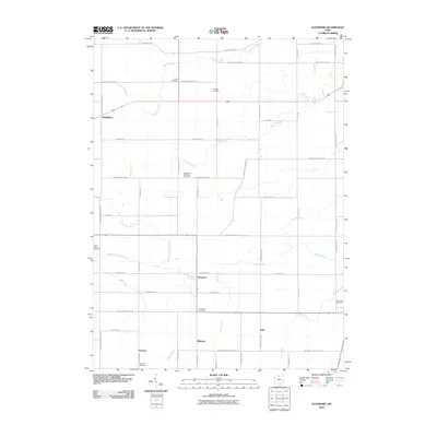
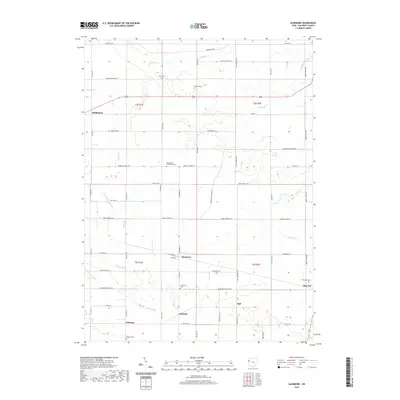
1960 Glenmore
Van Wert County, OH
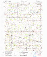
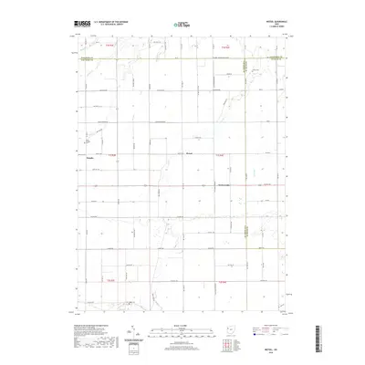
1960 Wetsel
Van Wert County, OH
2010 Glenmore
Van Wert County, OH
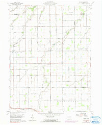
2010 Wetsel
Van Wert County, OH
2013 Glenmore
Van Wert County, OH
2013 Wetsel
Van Wert County, OH
2016 Glenmore
Van Wert County, OH
2016 Wetsel
Van Wert County, OH
2019 Glenmore
Van Wert County, OH
2019 Wetsel
Van Wert County, OH
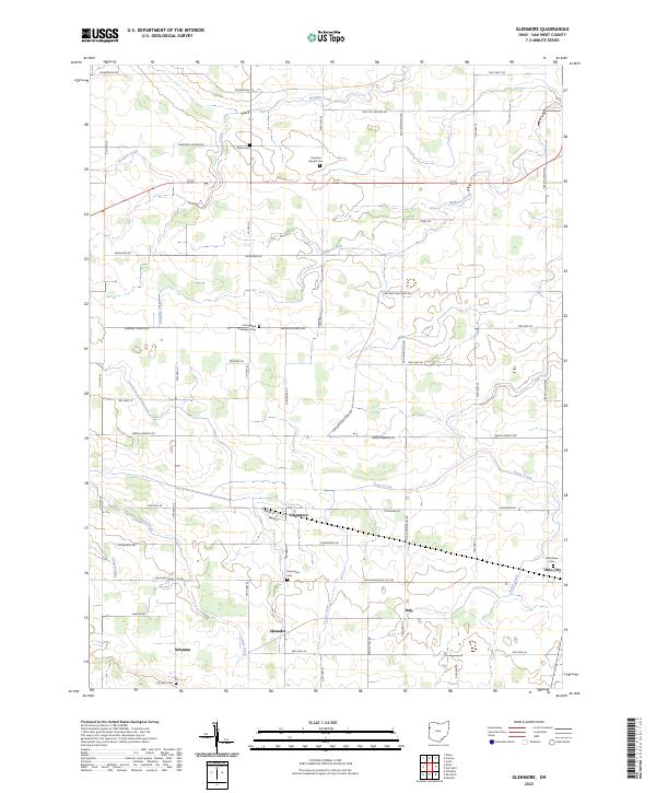
2023 Glenmore
Van Wert County, OH
2023 Wetsel
Van Wert County, OH