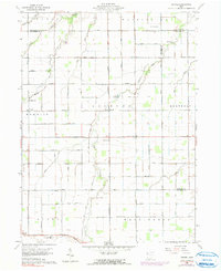
1960 Map of Wetsel
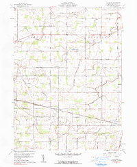
USGS Topo · Published 1991About this map
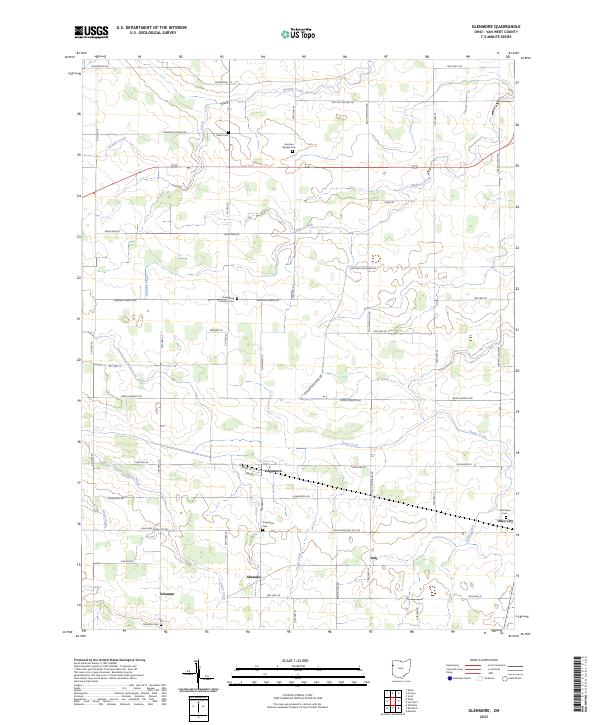
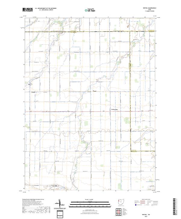
The agricultural landscape of Northwest Ohio is defined here by a precise grid of rural section lines and township boundaries, including Jackson and Hoaglin. Small rural hamlets like Wetsel and Seamansville serve as local hubs for the surrounding farmstead network. The terrain is notably flat, drained by a series of winding waterways such as Hoaglin Creek, Town Creek, and Dog Creek.
Find a feature on this map
47 named features on this map. Tap any name to fly to it.
Don’t see what you’re looking for? This feature index may not catch every label — zoom into the map to look around manually.
Map Details
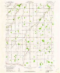
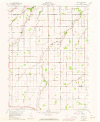
Editions of this 1960 Wetsel Map
3 editions found
Historical Maps of Hoaglin Through Time
12 maps found
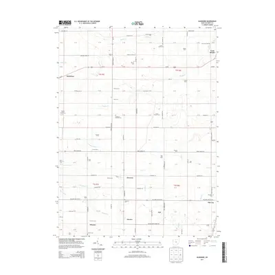
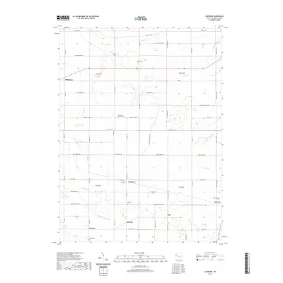
1960 Glenmore
Van Wert County, OH
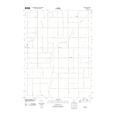
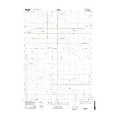
1960 Wetsel
Van Wert County, OH
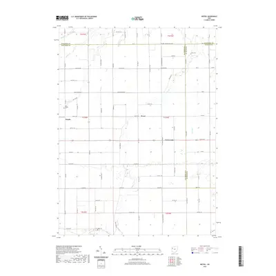
2010 Glenmore
Van Wert County, OH
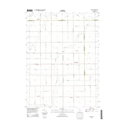
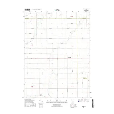
2010 Wetsel
Van Wert County, OH
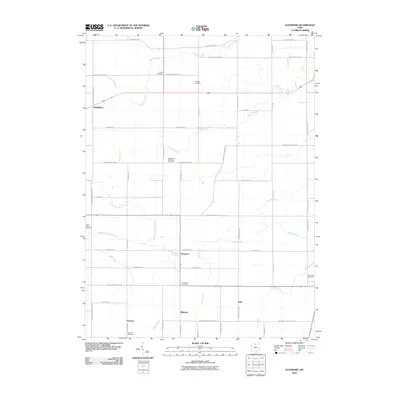
2013 Glenmore
Van Wert County, OH
2013 Wetsel
Van Wert County, OH
2016 Glenmore
Van Wert County, OH
2016 Wetsel
Van Wert County, OH
2019 Glenmore
Van Wert County, OH
2019 Wetsel
Van Wert County, OH
2023 Glenmore
Van Wert County, OH
2023 Wetsel
Van Wert County, OH