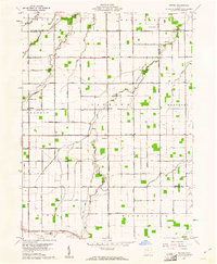
1960 Map of Wetsel
USGS Topo · Published 1961About this map
The agricultural landscape of Van Wert and Paulding Counties centers on the crossroads of Wetsel and Hoaglin, appearing here as it was during the 1959-1960 surveys. The map illustrates a strict section-line grid typical of Northwest Ohio, where early townships like Jackson and Monterey are defined by straight-line roads such as Wisener Road and Dixon Cavett Road. Small religious and community centers like Harmony Ch and Union Ch anchor the rural population, while the Tri-County Airport near the Putnam County line shows the mid-century intersection of traditional farming and modern aviation. Waterways including Dog Creek and Middle Creek meander across the surveyed land lines, providing natural drainage for the surrounding fields. Family researchers may find interest in the distinct placement of local burial grounds like Dotson Cem and Ridge Cem, which serve as permanent records of the area's early settlement families.
Find a feature on this map
41 named features on this map. Tap any name to fly to it.
Don’t see what you’re looking for? This feature index may not catch every label — zoom into the map to look around manually.
Map Details
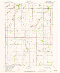
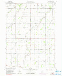
Editions of this 1960 Wetsel Map
3 editions found
Other maps of this area

1909 · Continental
USGS Topo · 1:62,500

1911 · Delphos
USGS Topo · 1:62,500

1914 · Van Wert
USGS Topo · 1:62,500

1914 · Paulding
USGS Topo · 1:62,500

1944 · Delphos
USGS Topo · 1:62,500

1944 · Van Wert
USGS Topo · 1:62,500

1944 · Paulding
USGS Topo · 1:62,500

1953 · Fort Wayne
USGS Topo · 1:250,000

1953 · Muncie
USGS Topo · 1:250,000

1956 · Muncie
USGS Topo · 1:250,000