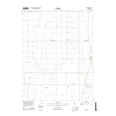
2015 Map of Glenn
USGS Topo · Published 2015About this map
Agricultural irrigation networks define this portion of the Sacramento Valley, where an intricate grid of county roads supports the local farming economy. The Glenn-Colusa Canal and Provident Main Canal are the lifeblood of the region, carrying water from the Sacramento River to the surrounding fields. Small settlements like Bayliss and Glenn serve as local hubs, positioned along these vital waterways and transport routes. In the southeastern corner, the landscape shifts as it reaches the riverbank, featuring Shepard Slough and Hartley Island. This 2015 survey illustrates how the land has been meticulously organized into township sections, with nearly every mile marked by a designated county road, such as Co Road 39 or Co Road 48, facilitating the movement of goods through the Central Valley.
Find a feature on this map
49 named features on this map. Tap any name to fly to it.
Don’t see what you’re looking for? This feature index may not catch every label — zoom into the map to look around manually.
Map Details
Editions of this 2015 Glenn Map
This is the sole edition of this map. No revisions or reprints were ever made.
Other maps of this area

1888 · Marysville
USGS Topo · 1:125,000

1891 · Chico
USGS Topo · 1:125,000

1891 · Marysville
USGS Topo · 1:125,000

1893 · Chico
USGS Topo · 1:125,000

1894 · Marysville
USGS Topo · 1:125,000

1895 · Marysville
USGS Topo · 1:125,000

1895 · Chico
USGS Topo · 1:125,000

1906 · Maxwell
USGS Topo · 1:62,500

1906 · Willows
USGS Topo · 1:62,500

1912 · Butte City
USGS Topo · 1:31,680