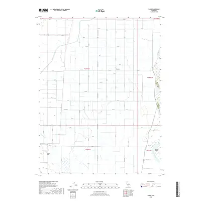
2018 Map of Glenn
USGS Topo · Published 2018About this map
Bayliss and the smaller settlement of Glenn anchor this section of the Sacramento Valley, where an intricate irrigation network of the early 21st century dictates the landscape. The Glenn-Colusa Canal and Provident-Main-Canal cut long, linear paths through the agricultural grid, revealing the essential role of water management in Glenn County. Along the eastern edge, the Sacramento River forms a natural boundary, winding past Hartley Island and Shepard Slough. This modern survey illustrates how decades of land reclamation and water engineering have transformed the floodplain into a high-productivity agricultural zone. Local family history is reflected in the named rural roads and lanes, such as Pear Ave, Gum Ave, and Walnut Ln, which branch off the primary thoroughfare of State Route 162 near the Butte County line.
Find a feature on this map
60 named features on this map. Tap any name to fly to it.
Don’t see what you’re looking for? This feature index may not catch every label — zoom into the map to look around manually.
Map Details
Editions of this 2018 Glenn Map
This is the sole edition of this map. No revisions or reprints were ever made.
Other maps of this area
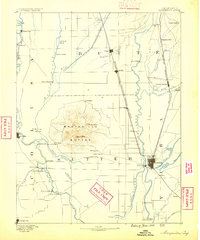
1888 · Marysville
USGS Topo · 1:125,000
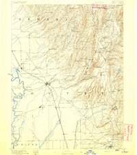
1891 · Chico
USGS Topo · 1:125,000
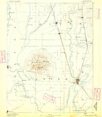
1891 · Marysville
USGS Topo · 1:125,000
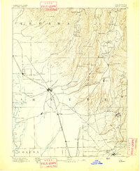
1893 · Chico
USGS Topo · 1:125,000
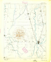
1894 · Marysville
USGS Topo · 1:125,000
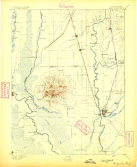
1895 · Marysville
USGS Topo · 1:125,000
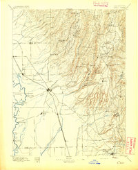
1895 · Chico
USGS Topo · 1:125,000
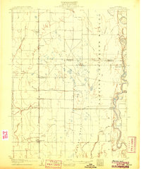
1906 · Maxwell
USGS Topo · 1:62,500
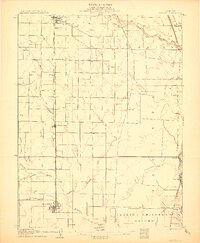
1906 · Willows
USGS Topo · 1:62,500
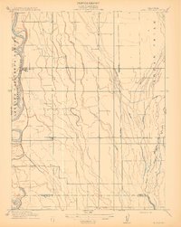
1912 · Butte City
USGS Topo · 1:31,680