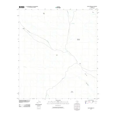
2010 Map of Glenn Spring
USGS Topo · Published 2010About this map
Glenn Spring serves as a focal point in this arid landscape, situated where several primitive desert routes and drainages converge. The map documents a territory defined by its scarce water sources and topographic relief, featuring landmarks like Chilicotal Spring and the artificial Rice Tank. These features, along with the isolated Rice Cemetery, suggest a history of ranching and settlement where survival depended on the careful management of every spring and draw.
Find a feature on this map
15 named features on this map. Tap any name to fly to it.
Don’t see what you’re looking for? This feature index may not catch every label — zoom into the map to look around manually.
Map Details
Editions of this 2010 Glenn Spring Map
This is the sole edition of this map. No revisions or reprints were ever made.
Other maps of this area

1903 · Chisos Mountains
USGS Topo · 1:125,000

1905 · Chisos Mountains
USGS Topo · 1:125,000

1959 · Emory Peak
USGS Topo · 1:250,000

1965 · Emory Peak
USGS Topo · 1:250,000
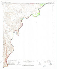
1970 · Solis
USGS Topo · 1:24,000

1971 · Glenn Spring
USGS Topo · 1:24,000
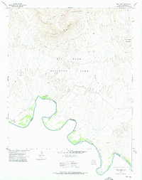
1971 · Reed Camp
USGS Topo · 1:24,000
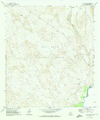
1971 · San Vicente
USGS Topo · 1:24,000
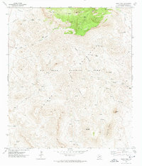
1971 · Emory Peak
USGS Topo · 1:24,000
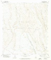
1971 · Roys Peak
USGS Topo · 1:24,000