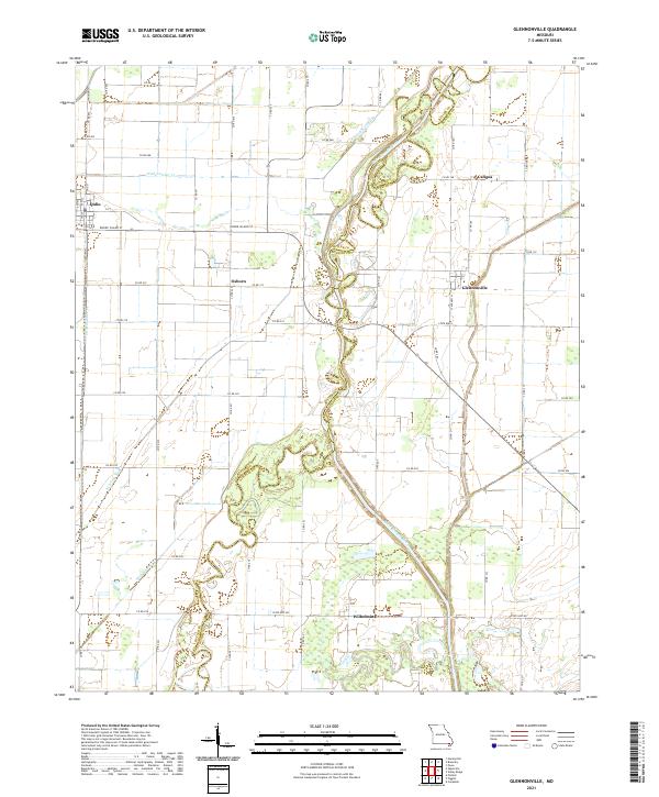
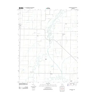
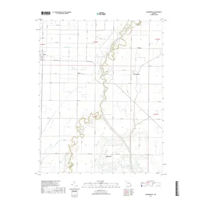
2021 Map of Glennonville
USGS Topo · Published 2021About this map
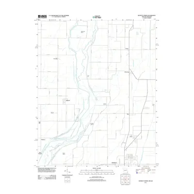
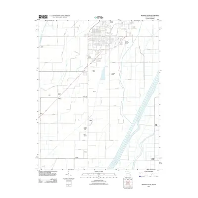
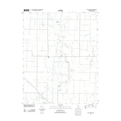
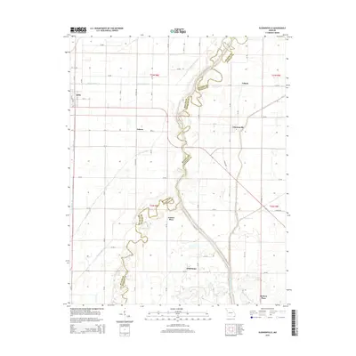
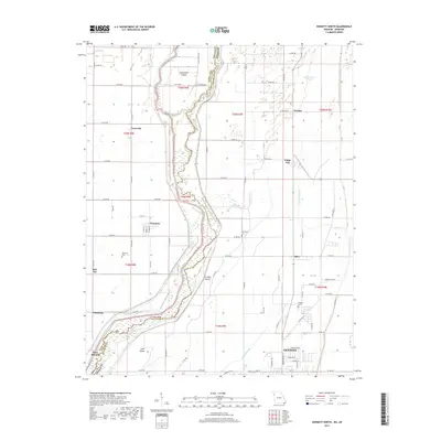
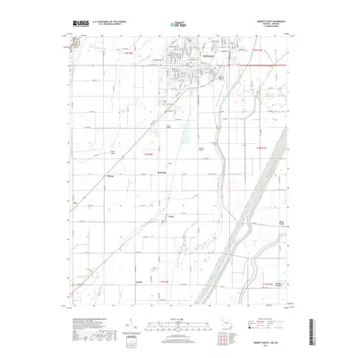
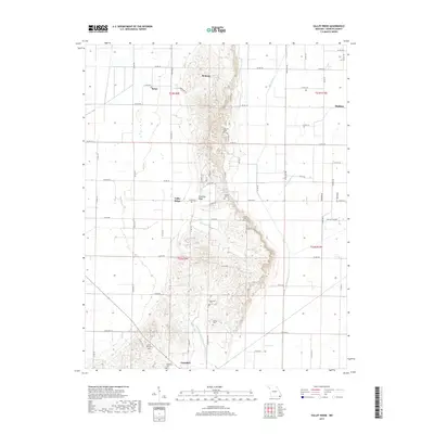
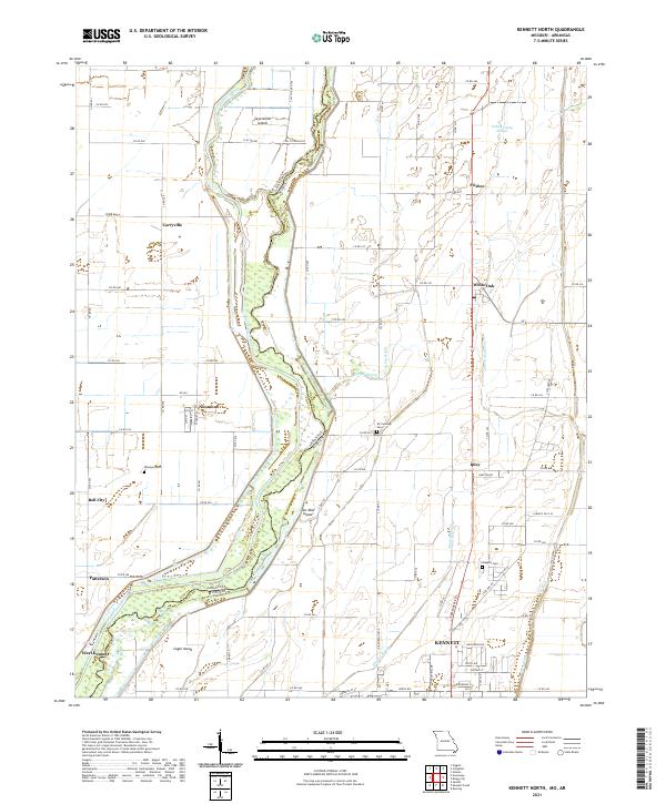
The Saint Francis River carves a winding path along the border of Butler and Dunklin counties, defining a landscape shaped by both natural waterways and an extensive drainage system. Small settlements like Glennonville and Wilhelmina anchor this rural region, while Qulin sits to the west along a grid of local roads and named thoroughfares such as Rhode Island St. The terrain is marked by the engineering of the Bootheel, where Ditch Number 31, Ditch Number 30, and Ditch Number 34 provide the essential infrastructure for the area's agricultural life. Local history enthusiasts can trace the remnants of old water features like Fish Trap Slough and the quiet locations of Osborn and Caligoa, which remain as nodes in the expansive county road network.
Find a feature on this map
57 named features on this map. Tap any name to fly to it.
Don’t see what you’re looking for? This feature index may not catch every label — zoom into the map to look around manually.
Map Details
Editions of this 2021 Glennonville Map
This is the sole edition of this map. No revisions or reprints were ever made.
Historical Maps of Qulin Through Time
22 maps found
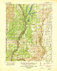
1940 Valley Ridge
Dunklin County, MO
1956 Valley Ridge
Dunklin County, MO
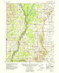
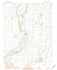
1983 Glennonville
Dunklin County, MO
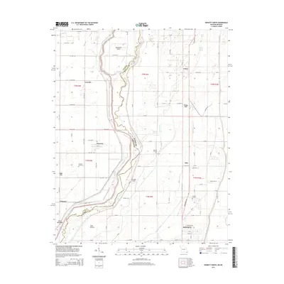
1983 Kennett North
Dunklin County, MO
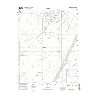
1983 Kennett South
Dunklin County, MO
1984 Valley Ridge
Dunklin County, MO
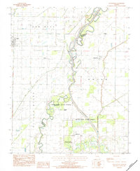
2011 Glennonville
Dunklin County, MO
2011 Kennett North
Dunklin County, MO
2011 Kennett South
Dunklin County, MO
2011 Valley Ridge
Dunklin County, MO
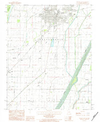
2015 Glennonville
Dunklin County, MO
2015 Kennett North
Dunklin County, MO
2015 Kennett South
Dunklin County, MO
2015 Valley Ridge
Dunklin County, MO
2017 Glennonville
Dunklin County, MO
2017 Kennett North
Dunklin County, MO
2017 Kennett South
Dunklin County, MO
2017 Valley Ridge
Dunklin County, MO
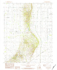
2021 Glennonville
Dunklin County, MO
2021 Kennett North
Dunklin County, MO
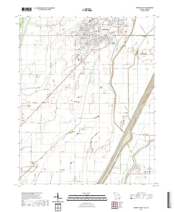
2021 Kennett South
Dunklin County, MO
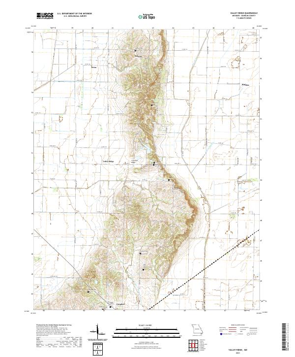
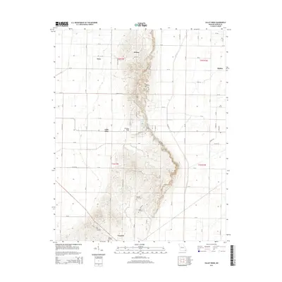
2021 Valley Ridge
Dunklin County, MO