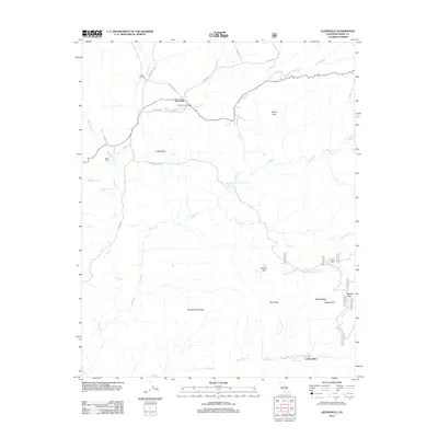
2012 Map of Glennville
USGS Topo · Published 2012About this map
Linns Valley serves as the central geographic feature of this Kern County region, where the historic Glennville Adobe stands as a landmark of early settlement. The community of Glennville is situated at the junction of several mountain routes, including Pascoe Rd and Jack Ranch Rd, showing a landscape defined by ranching and small-scale infrastructure. The map details a network of waterways like Poso Cr and Angel Cr that carve through the high terrain, feeding smaller reservoirs such as Lake Stockton and Lake Marion.
Find a feature on this map
43 named features on this map. Tap any name to fly to it.
Don’t see what you’re looking for? This feature index may not catch every label — zoom into the map to look around manually.
Map Details
Editions of this 2012 Glennville Map
This is the sole edition of this map. No revisions or reprints were ever made.
Other maps of this area
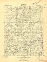
1920 · Delonagha
USGS Topo · 1:62,500
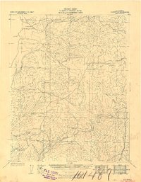
1926 · Glennville
USGS Topo · 1:62,500
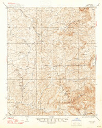
1932 · Woody
USGS Topo · 1:62,500
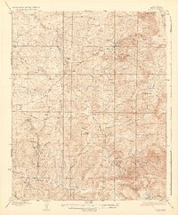
1935 · Woody
USGS Topo · 1:62,500
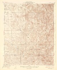
1936 · White River
USGS Topo · 1:62,500
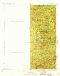
1936 · Tobias Peak
USGS Topo · 1:125,000
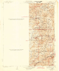
1943 · Tobias Peak
USGS Topo · 1:125,000
1945 · Tobias Peak
USGS Topo · 1:62,500
1948 · Bakersfield
USGS Topo · 1:250,000
1952 · Woody
USGS Topo · 1:62,500