
2022 Map of Glennville
USGS Topo · Published 2022About this map
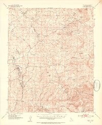
Glennville sits at the heart of this landscape, positioned within Linns Valley where the foothills transition toward the high peaks of the Sierra Nevada. This 2022 survey captures a rural Kern County corridor defined by cattle ranching and timber heritage, bordering the southern reaches of the Sequoia National Forest. The map documents a network of named water sources and high-altitude landmarks, from the northern Oak Grove Cem to the southern reaches of Poso Flat.
Find a feature on this map
47 named features on this map. Tap any name to fly to it.
Don’t see what you’re looking for? This feature index may not catch every label — zoom into the map to look around manually.
Map Details
Editions of this 2022 Glennville Map
This is the sole edition of this map. No revisions or reprints were ever made.
Other maps of this area

1920 · Delonagha
USGS Topo · 1:62,500

1926 · Glennville
USGS Topo · 1:62,500

1932 · Woody
USGS Topo · 1:62,500

1935 · Woody
USGS Topo · 1:62,500

1936 · White River
USGS Topo · 1:62,500

1936 · Tobias Peak
USGS Topo · 1:125,000

1943 · Tobias Peak
USGS Topo · 1:125,000

1945 · Tobias Peak
USGS Topo · 1:62,500

1948 · Bakersfield
USGS Topo · 1:250,000
1952 · Woody
USGS Topo · 1:62,500