Loading...
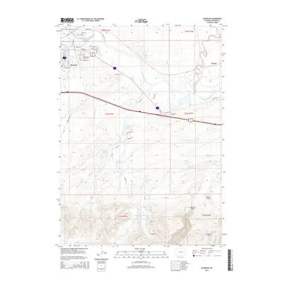
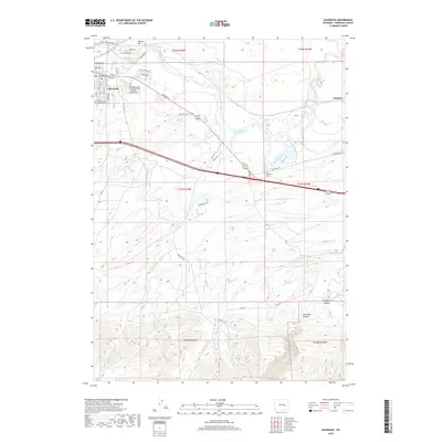
Loading map...2021 Map of Glenrock
USGS Topo · Published 2021About this map
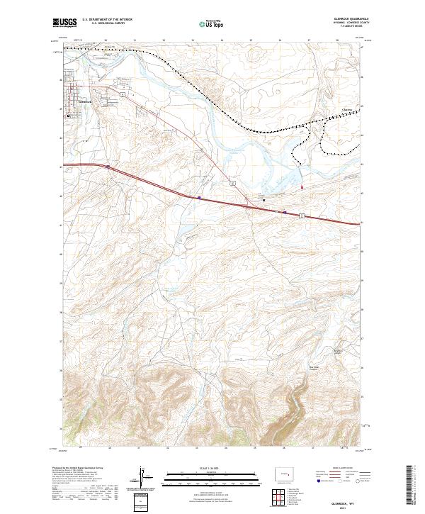
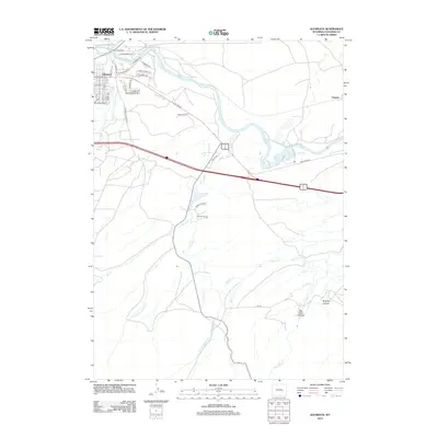
The North Platte River winds through this section of Converse County, marking a landscape defined by pioneer history and modern ranching. Just north of Glenrock, the historic Oregon Trl corridor remains a prominent feature, tracing the path of westward expansion. Local history and genealogy are anchored by the Glenrock Cem and the individual H A Unthank Grave located near Clayton, reflecting the deep-rooted settlement patterns of the region.
Find a feature on this map
51 named features on this map. Tap any name to fly to it.
Don’t see what you’re looking for? This feature index may not catch every label — zoom into the map to look around manually.
Map Details
Date Portrayed2021
Date Published2021
PublisherU.S. Geological Survey
Map TypeTopographic
Scale1:24,000
Physical Dimensions24 x 29 inches
Editions of this 2021 Glenrock Map
This is the sole edition of this map. No revisions or reprints were ever made.
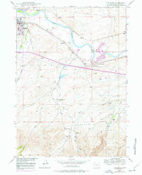
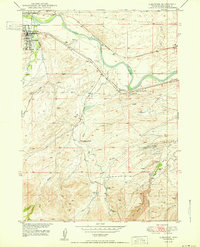
Historical Maps of Glenrock Through Time
6 maps found
Featured Locations
Source Details
SourceU.S. Geological Survey
CopyrightPublic Domain