Old Maps of Glenrock, Wyoming
Explore 15 old maps of Glenrock, spanning from 1949 to today. These high-resolution historic maps reveal how streets, neighborhoods, landmarks, and natural features evolved over time — perfect for genealogy, metal detecting, research, and local history exploration.
What you can do with these maps:
- See how Glenrock changed over time: Compare historical maps to modern-day views to trace roads, homesites, rail lines & more.
- View detailed metadata: Each map includes creators, publishers, year, scale, and archive source.
- Overlay maps with satellite & LiDAR: Visualize the past alongside modern tools to explore terrain & human change.
- Trusted historical sources: Maps sourced from the USGS, Library of Congress, and other archives.
- Access maps your way: View online, download high-res files, or order prints for personal or research use.
Start exploring old maps of Glenrock to uncover forgotten places, hidden landmarks, and the deep history beneath your feet.
Glenrock, WY maps
(15)- 1949 Map of Parkerton, 1966 Print
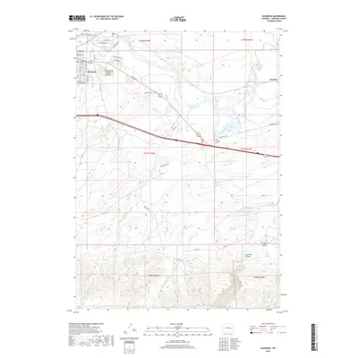
 1949 Parkerton1966 Print · USGSConverse County was defined by its dual identity as a rail corridor and energy hub during the late 1940s. Genealogists and industrial historians can trace the development of the Big Muddy Oil Field and the early layout of Parkerton and Glenrock.2 unique versions available
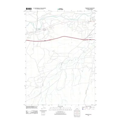
 - 1949 Map of Glenrock, 1971 Print
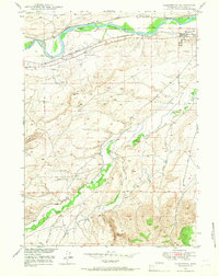
 1949 Glenrock1971 Print · USGSSettlement and transit along the North Platte River define this Converse County area during the late 1940s. Genealogists and historians can trace pioneer footprints at the Oregon Trail Marker and H A Unthank Grave, or locate family sites like the Macy Place.2 unique versions available
 - 1950 Map of Parkerton
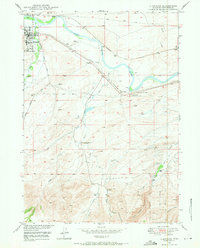
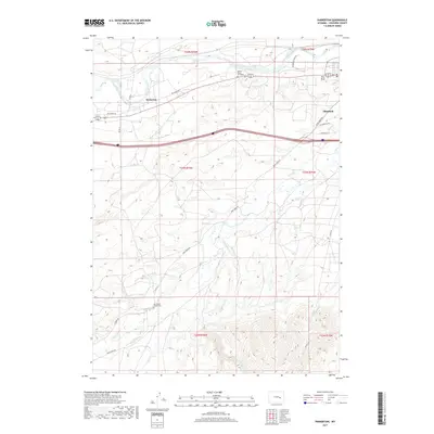
 1950 Parkerton1950 Print · USGSMid-century Converse County is defined here by the industrial energy of the Big Muddy Oil Field and the vital transport corridor of the North Platte River. Genealogists and historians can trace the growth of Glenrock, locate the Oil Refinery, and follow the path of the Chicago and Northwestern railroad.
 - 1950 Map of Glenrock
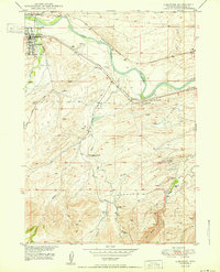 1950 Glenrock1950 Print · USGSGlenrock and the surrounding Converse County ranchlands are captured here at mid-century, where the railroad corridor follows the winding river. Genealogists and historians can locate the H A Unthank Grave, the Macy Place, and the industrial Glenrock Gravel Pit.
 - 1954 Map of Torrington, 1963 Print
 1954 Torrington1963 Print · USGSEastern Wyoming and the Nebraska borderlands are captured here during the mid-fifties, showing a landscape shaped by the Platte River and the Laramie Range. Researchers can trace deep history at the Fort Laramie National Historical Site, the Old Doty Ranch Site, and along the Old Fetterman Road.4 unique versions available
 - 1958 Map of Torrington
 1958 Torrington1958 Print · USGSEastern Wyoming and the Nebraska borderlands are captured in the late fifties, showcasing a landscape of high plains ranching and river-fed industry. Trace the historic paths of the Union Pacific railroad and find legacy sites like Fort Laramie and Sunrise.
 - 1981 Map of Douglas
 1981 Douglas1981 Print · USGSThe North Platte River corridor in the early eighties shows a landscape shaped by energy and iron. Genealogists and industrial historians can trace rail-side settlements like Glenrock, explore the Big Muddy Oil Field, and locate the old siding at Fetterman.
 - 2012 Map of Glenrock, 2012 Print
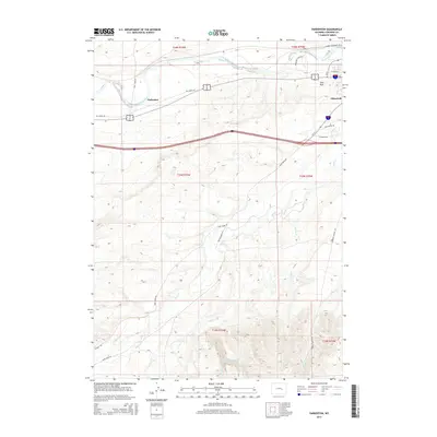
 2012 Glenrock2012 Print · USGSCovers Glenrock, including Clayton, Converse County, and other nearby areas
 - 2012 Map of Parkerton, 2012 Print
 2012 Parkerton2012 Print · USGSCovers Glenrock, including Parkerton, Converse County, and other nearby areas
 - 2015 Map of Glenrock, 2015 Print
 2015 Glenrock2015 Print · USGSCovers Glenrock, including Clayton, Converse County, and other nearby areas
 - 2015 Map of Parkerton, 2015 Print
 2015 Parkerton2015 Print · USGSCovers Glenrock, including Parkerton, Converse County, and other nearby areas
 - 2017 Map of Parkerton, 2017 Print
 2017 Parkerton2017 Print · USGSCovers Glenrock, including Parkerton, Converse County, and other nearby areas
 - 2018 Map of Glenrock, 2018 Print
 2018 Glenrock2018 Print · USGSCovers Glenrock, including Clayton, Converse County, and other nearby areas
 - 2021 Map of Parkerton, 2021 Print
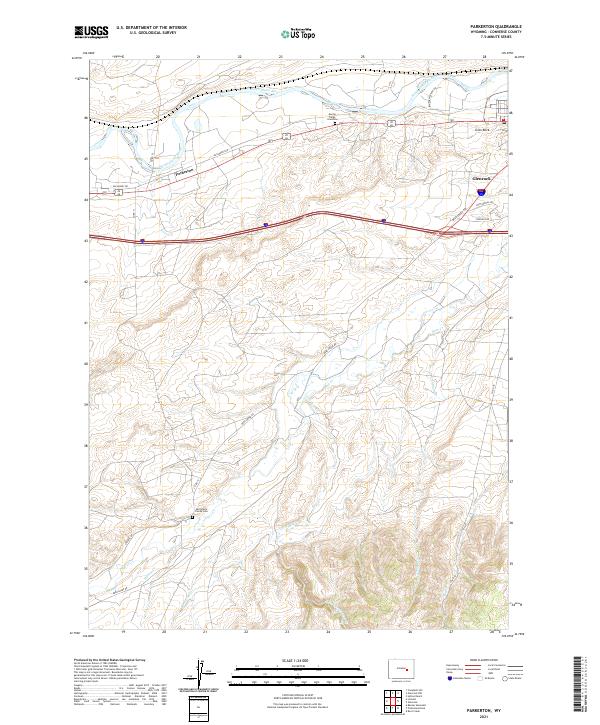 2021 Parkerton2021 Print · USGSConverse County near the turn of the decade shows a landscape where pioneer history meets modern settlement. Researchers can locate the Martin Ringo Gravesite and Mortimore Family Cem or trace the paths of Deer Cr and Parkerton.
 - 2021 Map of Glenrock, 2021 Print
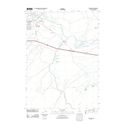
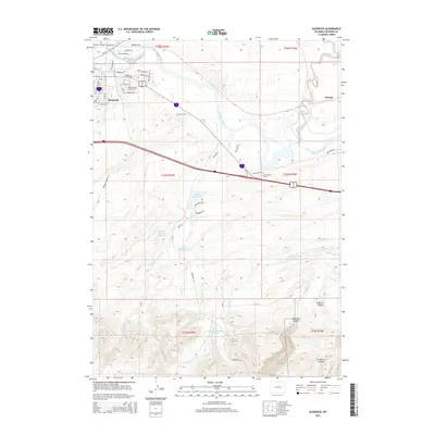
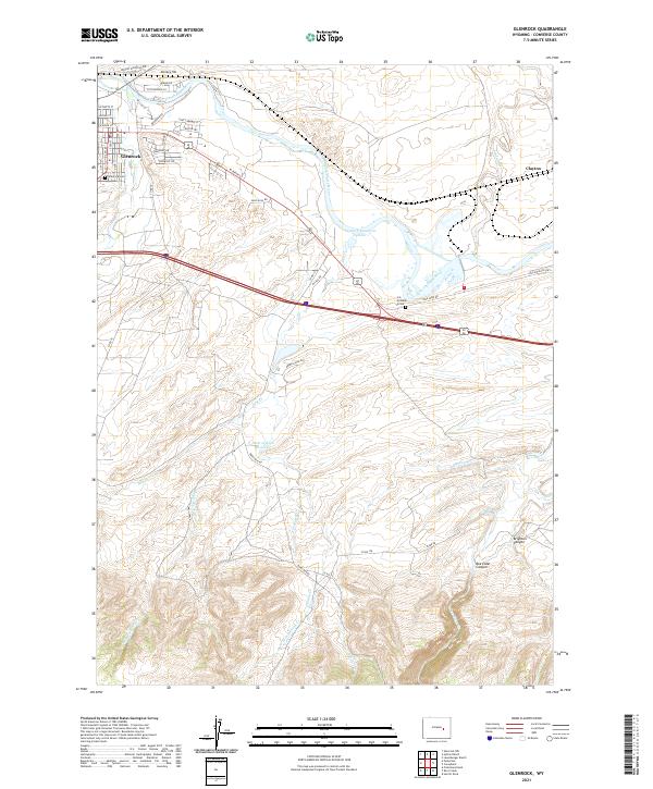 2021 Glenrock2021 Print · USGSGlenrock and the historic river valley appear here in the early twenty-first century as the community continues to grow along the North Platte River. Genealogists can locate the Glenrock Cem and the isolated H A Unthank Grave near the historic Oregon Trl route.
End of results
Showing maps 1-15 of 15
Top cities near Glenrock
Frequently asked questions
- What are the different types of historical maps available for Glenrock?
- What is the oldest map of Glenrock?
- Where can I purchase historical maps of Glenrock for my home or office?
- Where can I download high-res historical maps of Glenrock?
- Are there historical topographic maps available for Glenrock?
- Is there historical aerial imagery available for Glenrock?
- Where are historical maps of Glenrock sourced from?