
1950 Map of Parkerton
USGS Topo · Published 1950About this map
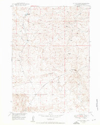
Big Muddy Oil Field dominates the high ground south of the North Platte River, signaling the industrial character of this Converse County region at mid-century. The landscape is a corridor of heavy transit and resource extraction, where the Chicago and Northwestern and Burlington railroads parallel the river, connecting the settlements of Parkerton and Glenrock. At the eastern edge, an Oil Refinery sits just outside the Glen Rock town limits, highlighting the area's role in Wyoming's energy economy.
Find a feature on this map
20 named features on this map. Tap any name to fly to it.
Don’t see what you’re looking for? This feature index may not catch every label — zoom into the map to look around manually.
Map Details
Editions of this 1950 Parkerton Map
This is the sole edition of this map. No revisions or reprints were ever made.
Other maps of this area

1949 · Campbell Hill
USGS Topo · 1:24,000

1949 · Parkerton
USGS Topo · 1:24,000

1949 · Glenrock
USGS Topo · 1:24,000

1949 · Glenrock NW
USGS Topo · 1:24,000

1949 · Hylton Ranch
USGS Topo · 1:24,000

1950 · Campbell Hill
USGS Topo · 1:24,000

1950 · Lockett
USGS Topo · 1:24,000

1950 · Glenrock NW
USGS Topo · 1:24,000

1950 · Glenrock
USGS Topo · 1:24,000
1950 · Hylton Ranch
USGS Topo · 1:24,000