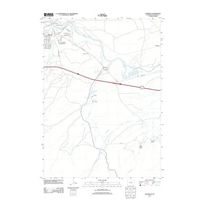
2012 Map of Glenrock
USGS Topo · Published 2012About this map
Glenrock serves as the primary hub of this landscape, situated at a bend in the N Platte River where numerous historical and modern transit lines converge. The town's grid is bounded by a network of residential and commercial streets such as Grant Ave and W Young Blvd, while the surrounding terrain is defined by a series of north-flowing watercourses including Deer Cr, Dry Cr, and Hunton Cr.
Find a feature on this map
39 named features on this map. Tap any name to fly to it.
Don’t see what you’re looking for? This feature index may not catch every label — zoom into the map to look around manually.
Map Details
Editions of this 2012 Glenrock Map
This is the sole edition of this map. No revisions or reprints were ever made.
Other maps of this area

1949 · Careyhurst
USGS Topo · 1:24,000

1949 · Parkerton
USGS Topo · 1:24,000

1949 · Glenrock
USGS Topo · 1:24,000

1949 · Leuenberger Ranch
USGS Topo · 1:24,000

1949 · Glenrock NW
USGS Topo · 1:24,000

1949 · Hylton Ranch
USGS Topo · 1:24,000

1950 · Careyhurst
USGS Topo · 1:24,000

1950 · Leuenberger Ranch
USGS Topo · 1:24,000

1950 · Parkerton
USGS Topo · 1:24,000

1950 · Glenrock NW
USGS Topo · 1:24,000