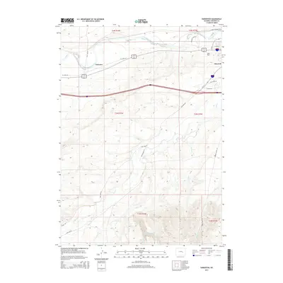
2015 Map of Parkerton
USGS Topo · Published 2015About this map
The North Platte River defines the northern reaches of this Wyoming landscape, where the settlement of Glenrock transitions from riverfront plains to the rugged ascent of Monkey Mountain. This 2015 edition captures the contemporary layout of the historic Parkerton area and the adjacent Glen Rock, showing how modern transportation corridors like the Interstate 25 and Big Muddy Rd follow the natural paths carved by the river valley.
Find a feature on this map
28 named features on this map. Tap any name to fly to it.
Don’t see what you’re looking for? This feature index may not catch every label — zoom into the map to look around manually.
Map Details
Editions of this 2015 Parkerton Map
This is the sole edition of this map. No revisions or reprints were ever made.
Other maps of this area

1949 · Campbell Hill
USGS Topo · 1:24,000

1949 · Parkerton
USGS Topo · 1:24,000

1949 · Glenrock
USGS Topo · 1:24,000

1949 · Glenrock NW
USGS Topo · 1:24,000

1949 · Hylton Ranch
USGS Topo · 1:24,000

1950 · Campbell Hill
USGS Topo · 1:24,000

1950 · Lockett
USGS Topo · 1:24,000

1950 · Parkerton
USGS Topo · 1:24,000

1950 · Glenrock NW
USGS Topo · 1:24,000

1950 · Glenrock
USGS Topo · 1:24,000