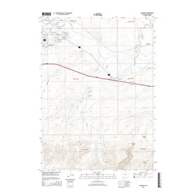
2015 Map of Glenrock
USGS Topo · Published 2015About this map
Glenrock sits as the primary hub of this Converse County survey, situated along the southern banks of the North Platte River. This 2015 edition documents the modern layout of the community, detailing residential streets such as Emigrant Dr and Lookout Dr, which reflect the area's pioneer heritage and its position overlooking the river valley. To the east, the map identifies Clayton, while the rural landscape beyond the town center is marked by significant historical waypoints. Of particular interest to genealogists and historians is the H A Unthank Grave, a lone marker located near Tank Farm Rd that serves as a tangible link to the pioneers who traversed this corridor. The terrain is characterized by a network of drainage ways and access roads like Sage Hills Rd and Mormon Canyon Rd, which navigate the rising elevations south of the river.
Find a feature on this map
32 named features on this map. Tap any name to fly to it.
Don’t see what you’re looking for? This feature index may not catch every label — zoom into the map to look around manually.
Map Details
Editions of this 2015 Glenrock Map
This is the sole edition of this map. No revisions or reprints were ever made.
Other maps of this area

1949 · Careyhurst
USGS Topo · 1:24,000

1949 · Parkerton
USGS Topo · 1:24,000

1949 · Glenrock
USGS Topo · 1:24,000

1949 · Leuenberger Ranch
USGS Topo · 1:24,000

1949 · Glenrock NW
USGS Topo · 1:24,000

1949 · Hylton Ranch
USGS Topo · 1:24,000

1950 · Careyhurst
USGS Topo · 1:24,000

1950 · Leuenberger Ranch
USGS Topo · 1:24,000

1950 · Parkerton
USGS Topo · 1:24,000

1950 · Glenrock NW
USGS Topo · 1:24,000