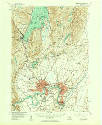
1955 Map of Glens Falls
USGS Topo · Published 1958About this map
Glens Falls and Hudson Falls anchor this mid-century survey, showing the industrial and residential concentration along the Hudson River just before the expansion of the modern interstate era. The map documents a landscape of transition where the dense urban centers of South Glens Falls and Fort Edward give way to the burgeoning tourism of the southern Lake George basin. Historical sites such as Fort William Henry and the Fort Gage Ruins sit alongside mid-century developments like the Top of World Golf Course and Lake George Beach State Park.
Find a feature on this map
106 named features on this map. Tap any name to fly to it.
Don’t see what you’re looking for? This feature index may not catch every label — zoom into the map to look around manually.
Map Details
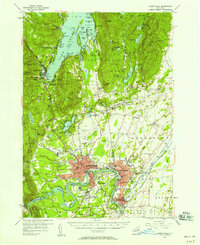
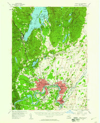
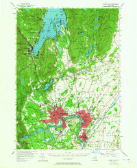
Editions of this 1955 Glens Falls Map
4 editions found
Other maps of this area

1893 · Fort Ann
USGS Topo · 1:62,500

1893 · Whitehall
USGS Topo · 1:62,500

1895 · Whitehall
USGS Topo · 1:62,500

1895 · North Creek
USGS Topo · 1:62,500

1895 · Cambridge
USGS Topo · 1:62,500

1895 · Fort Ann
USGS Topo · 1:62,500

1895 · Glens Falls
USGS Topo · 1:62,500

1897 · Bolton
USGS Topo · 1:62,500

1897 · Glens Falls
USGS Topo · 1:62,500

1897 · North Creek
USGS Topo · 1:62,500