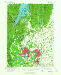
1955 Map of Glens Falls
USGS Topo · Published 1965About this map
Glens Falls and the industrial corridor along the Hudson River anchor this mid-century survey, revealing a landscape where wilderness and industry meet. The city centers of Hudson Falls and South Glens Falls are shown in dense detail, situated just south of the Adirondack State Park boundary. Further north, the map captures the transition to the recreation-driven shoreline of Lake George, featuring Fort William Henry and the Lake George Beach State Park.
Find a feature on this map
114 named features on this map. Tap any name to fly to it.
Don’t see what you’re looking for? This feature index may not catch every label — zoom into the map to look around manually.
Map Details
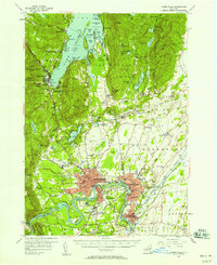
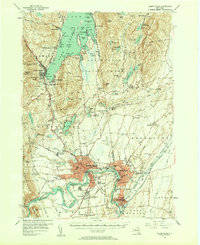
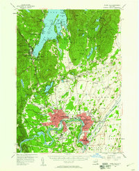
Editions of this 1955 Glens Falls Map
4 editions found
Other maps of this area

1893 · Fort Ann
USGS Topo · 1:62,500

1893 · Whitehall
USGS Topo · 1:62,500

1895 · Whitehall
USGS Topo · 1:62,500

1895 · North Creek
USGS Topo · 1:62,500

1895 · Cambridge
USGS Topo · 1:62,500

1895 · Fort Ann
USGS Topo · 1:62,500

1895 · Glens Falls
USGS Topo · 1:62,500

1897 · Bolton
USGS Topo · 1:62,500

1897 · Glens Falls
USGS Topo · 1:62,500

1897 · North Creek
USGS Topo · 1:62,500