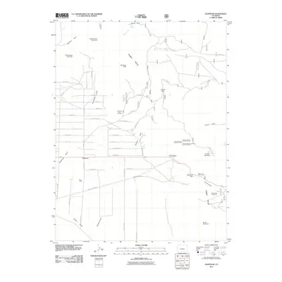
2011 Map of Glentivar
USGS Topo · Published 2011About this map
The settlement of Glentivar serves as the focal point for this survey of the high-altitude landscape of Park County. Situated among the Puma Hills, this region is defined by a dense concentration of mining claims and named geologic features. The network of drainage gulches, including Rishaberger Gulch, Martland Gulch, and Chase Gulch, dictates the placement of early travel routes and modern thoroughfares like Mineral Springs Rd and County Hwy-447.
Find a feature on this map
54 named features on this map. Tap any name to fly to it.
Don’t see what you’re looking for? This feature index may not catch every label — zoom into the map to look around manually.
Map Details
Editions of this 2011 Glentivar Map
This is the sole edition of this map. No revisions or reprints were ever made.
Other maps of this area

1893 · Platte Canyon
USGS Topo · 1:125,000

1894 · Pikes Peak
USGS Topo · 1:125,000

1901 · Pikes Peak
USGS Topo · 1:125,000

1953 · Denver
USGS Topo · 1:250,000

1954 · Pueblo
USGS Topo · 1:250,000

1956 · Eagle Rock
USGS Topo · 1:24,000

1956 · Mc Curdy Mountain
USGS Topo · 1:24,000

1956 · Tarryall
USGS Topo · 1:24,000

1956 · Sulphur Mountain
USGS Topo · 1:24,000

1956 · Elevenmile Canyon
USGS Topo · 1:24,000