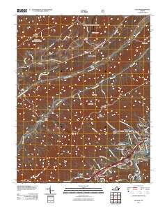
2011 Map of Glenvar
USGS Topo · Published 2011About this map
Fort Lewis Mountain and Brush Mountain define the high elevations of this Virginia landscape, where the Roanoke River and its various forks carve through the valley floors. In the southern corridor, modern residential expansion is evident in settlements like Glenvar, Cherokee Hills, and Glen Forest, while the northern reaches remain more defined by natural gaps and ridges. Genealogists will find a significant concentration of family burial grounds scattered throughout the topography, including the Custer Cemetery near Cove Mountain and the Moore-Bain Cemetery in the Bradshaw area. Transport patterns follow the water, with Catawba Creek and Bradshaw Creek serving as natural conduits for local roads like Blacksburg Rd and Bradshaw Rd. This survey documents a transitional zone where established rural mountain life meets the growing suburban footprint of the Roanoke River valley.
Find a feature on this map
78 named features on this map. Tap any name to fly to it.
Don’t see what you’re looking for? This feature index may not catch every label — zoom into the map to look around manually.
Map Details
Editions of this 2011 Glenvar Map
This is the sole edition of this map. No revisions or reprints were ever made.
Other maps of this area

1890 · Christiansburg
USGS Topo · 1:125,000

1923 · Waiteville
USGS Topo · 1:62,500

1929 · Salem
USGS Topo · 1:48,000

1931 · Waiteville
USGS Topo · 1:48,000

1932 · Salem
USGS Topo · 1:62,500

1932 · Blacksburg
USGS Topo · 1:48,000

1937 · Blacksburg
USGS Topo · 1:62,500

1944 · Waiteville
USGS Topo · 1:62,500

1950 · Elliston
USGS Topo · 1:62,500

1951 · Waiteville
USGS Topo · 1:62,500