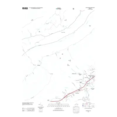
2013 Map of Glenvar
USGS Topo · Published 2013About this map
Fort Lewis Mountain and the surrounding ridges define the residential and hydrological character of this portion of Roanoke County. In the valley floors, the N Fork Roanoke River and its primary stem, the Roanoke River, are joined by numerous tributaries including Bradshaw Cr and Catawba Cr. The map shows a transition from the more established settlement at Bradshaw in the west to the dense suburban clusters of Glenvar, Jones, and Glenvar East in the east. Modern residential developments such as Grandview Gardens and Talking Leaves sit alongside natural landmarks like Bear Knob and Texas Knob. Notable gaps in the mountain terrain, including Smith Gap and Beckner Gap, have historically channeled movement through this part of the Virginia landscape.
Find a feature on this map
97 named features on this map. Tap any name to fly to it.
Don’t see what you’re looking for? This feature index may not catch every label — zoom into the map to look around manually.
Map Details
Editions of this 2013 Glenvar Map
This is the sole edition of this map. No revisions or reprints were ever made.
Other maps of this area

1890 · Christiansburg
USGS Topo · 1:125,000

1923 · Waiteville
USGS Topo · 1:62,500

1929 · Salem
USGS Topo · 1:48,000

1931 · Waiteville
USGS Topo · 1:48,000

1932 · Salem
USGS Topo · 1:62,500

1932 · Blacksburg
USGS Topo · 1:48,000

1937 · Blacksburg
USGS Topo · 1:62,500

1944 · Waiteville
USGS Topo · 1:62,500

1950 · Elliston
USGS Topo · 1:62,500

1951 · Waiteville
USGS Topo · 1:62,500