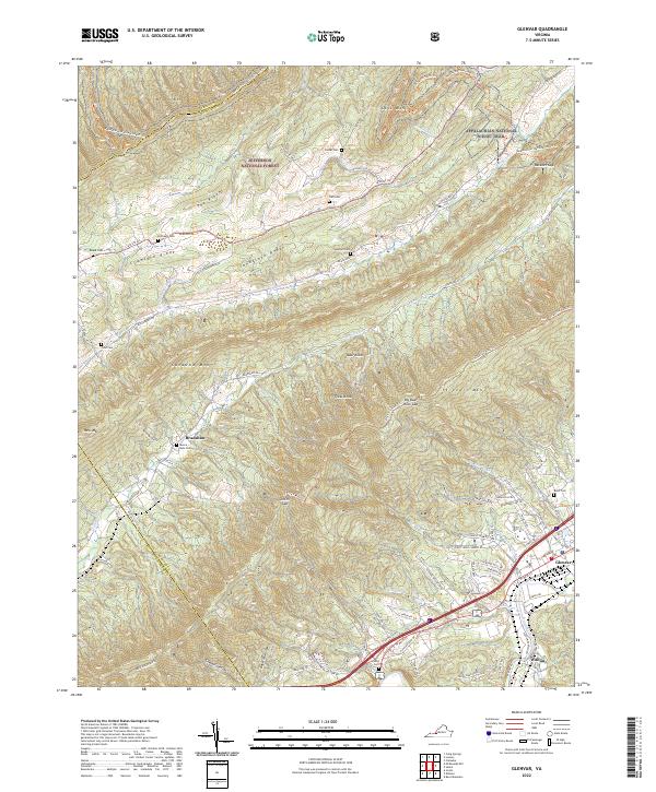
2022 Map of Glenvar
USGS Topo · Published 2022About this map
Jefferson National Forest dominates the high ridges and steep valleys of this western Virginia landscape, where the Appalachian National Scenic Trail winds through Cove Mtn and Brush Mtn. The terrain is defined by parallel ridges like Crawford Ridge and Sandstone Ridge, which funnel waterways such as Catawba Cr and Bradshaw Cr through the gaps. Along the southern edge, the Roanoke River provides a corridor for modern development in Glenvar and Wabun, contrasting with the more dispersed settlements of Bradshaw.
Find a feature on this map
79 named features on this map. Tap any name to fly to it.
Don’t see what you’re looking for? This feature index may not catch every label — zoom into the map to look around manually.
Map Details
Editions of this 2022 Glenvar Map
This is the sole edition of this map. No revisions or reprints were ever made.
Other maps of this area

1890 · Christiansburg
USGS Topo · 1:125,000

1923 · Waiteville
USGS Topo · 1:62,500

1929 · Salem
USGS Topo · 1:48,000

1931 · Waiteville
USGS Topo · 1:48,000

1932 · Salem
USGS Topo · 1:62,500

1932 · Blacksburg
USGS Topo · 1:48,000

1937 · Blacksburg
USGS Topo · 1:62,500

1944 · Waiteville
USGS Topo · 1:62,500

1950 · Elliston
USGS Topo · 1:62,500

1951 · Waiteville
USGS Topo · 1:62,500