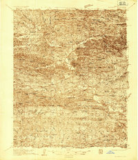
1936 Map of Glenwood
USGS Topo · Published 1936About this map
Crystal Mountains and the Caddo River valley define this mid-1930s landscape across the Montgomery and Pike county lines. The settlement at Glenwood serves as a regional hub, connected to the Missouri Pacific railroad and the State Highway No 8. The map documents a dense network of mountain communities including Black Springs, Norman, and Caddo Gap, each supported by timber and milling operations like Jones Mill.
Find a feature on this map
93 named features on this map. Tap any name to fly to it.
Don’t see what you’re looking for? This feature index may not catch every label — zoom into the map to look around manually.
Map Details
Editions of this 1936 Glenwood Map
This is the sole edition of this map. No revisions or reprints were ever made.
Other maps of this area
1890 · Mount Ida
USGS Topo · 1:125,000
1890 · Hot Springs
USGS Topo · 1:125,000
1894 · Hot Springs
USGS Topo · 1:125,000
1906 · Caddo Gap
USGS Topo · 1:125,000
1936 · Athens
USGS Topo · 1:48,000
1942 · Glenwood
USGS Topo · 1:62,500
1942 · Athens
USGS Topo · 1:62,500
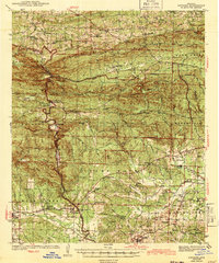
1943 · Antoine
USGS Topo · 1:62,500
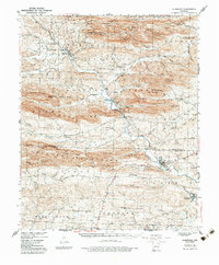
1949 · Glenwood
USGS Topo · 1:62,500

1955 · Little Rock
USGS Topo · 1:250,000