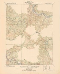
1919 Map of Glynn
USGS Topo · Published 1945About this map
The Eel River valley and its surrounding ridges dominate this 1916 survey, documenting the early industrial and agricultural footprint in Humboldt County. The northern corridor is defined by the Northwestern Pacific Railroad and the Pacific Highway, which serve the company town of Scotia. This area shows a clear transition from the timber and transit hubs along the river to the high-elevation ranching and homesteading interior.
Find a feature on this map
29 named features on this map. Tap any name to fly to it.
Don’t see what you’re looking for? This feature index may not catch every label — zoom into the map to look around manually.
Map Details
Editions of this 1919 Glynn Map
This is the sole edition of this map. No revisions or reprints were ever made.
Other maps of this area
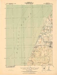
1916 · Cape Fortunas
USGS Topo · 1:62,500
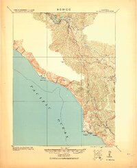
1920 · Pt. Delagda
USGS Topo · 1:62,500
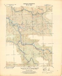
1921 · Dyerville
USGS Topo · 1:62,500
1921 · Briceland
USGS Topo · 1:62,500
1921 · Cape Mendocino
USGS Topo · 1:62,500
1922 · Kneeland
USGS Topo · 1:62,500
1926 · Gorda
USGS Topo · 1:62,500
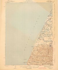
1943 · Ferndale
USGS Topo · 1:62,500
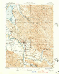
1944 · Fortuna
USGS Topo · 1:62,500
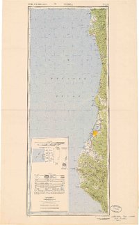
1949 · Eureka
USGS Topo · 1:250,000