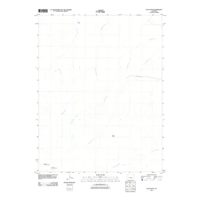
2010 Map of Goat Butte
USGS Topo · Published 2010About this map
Industrial mining and ranching legacies define this landscape in Pueblo County. In the southwest corner, the Franceville Number One Mine and Franceville Number Two Mine represent a history of extraction that shaped the local economy. The terrain is marked by seasonal watercourses like Thomkins Arroyo and Edson Arroyo, which carve through the land alongside the more established paths of Sixmile Creek and Fourmile Creek. To the north, the presence of Blake Ranch illustrates the expansive land use typical of this high plains region, while the prominent Goat Butte and its namesake Goat Butte Creek serve as central landmarks for navigation and local geography. Only a few corridors of transit, such as County Rd 3315, provide access to this sparse environment of arroyos and uplands.
Find a feature on this map
10 named features on this map. Tap any name to fly to it.
Don’t see what you’re looking for? This feature index may not catch every label — zoom into the map to look around manually.
Map Details
Editions of this 2010 Goat Butte Map
This is the sole edition of this map. No revisions or reprints were ever made.
Other maps of this area

1891 · Walsenburg
USGS Topo · 1:125,000

1891 · Pueblo
USGS Topo · 1:125,000

1891 · Nepesta
USGS Topo · 1:125,000

1891 · Apishapa
USGS Topo · 1:125,000

1893 · Nepesta
USGS Topo · 1:125,000

1893 · Apishapa
USGS Topo · 1:125,000

1894 · Walsenburg
USGS Topo · 1:125,000

1894 · Pueblo
USGS Topo · 1:125,000

1896 · Pueblo
USGS Topo · 1:125,000

1897 · Pueblo
USGS Topo · 1:125,000