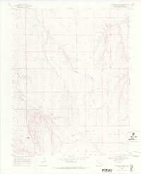
1968 Map of Gobblers Knob
USGS Topo · Published 1971About this map
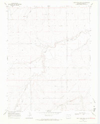
The Granada Santa Fe Wagon Trail cuts across the lower southern portion of this Prowers County landscape, providing a clear record of historical transit routes through the high plains. The topography is defined by the drainage systems of Horse Creek and Wolf Creek, which carve intricate patterns through the terrain as they flow toward the east. The prominent rise of Gobblers Knob serves as a significant landmark in the southwestern corner, overlooking the confluence of North Mule Creek and South Mule Creek. This 1968 survey details a sparse, utilitarian landscape where water sources like Middle Plum Creek and scattered wells were essential for the cattle ranching and homesteading that shaped this region of Colorado. The map's fine contour lines illustrate the subtle but complex breaks in the tableland that dictated movement and settlement for generations of travelers.
Find a feature on this map
10 named features on this map. Tap any name to fly to it.
Don’t see what you’re looking for? This feature index may not catch every label — zoom into the map to look around manually.
Map Details
Editions of this 1968 Gobblers Knob Map
2 editions found
Other maps of this area

1891 · Albany
USGS Topo · 1:125,000

1892 · Two Butte
USGS Topo · 1:125,000

1893 · Two Butte
USGS Topo · 1:125,000

1893 · Albany
USGS Topo · 1:125,000

1955 · La Junta
USGS Topo · 1:250,000

1958 · La Junta
USGS Topo · 1:250,000

1968 · La Junta
USGS Topo · 1:250,000
1968 · Cat Creek NE
USGS Topo · 1:24,000
1968 · Cat Creek
USGS Topo · 1:24,000
1968 · North Plum Creek NW
USGS Topo · 1:24,000