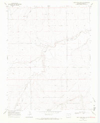
1968 Map of North Plum Creek NW
USGS Topo · Published 1971About this map
The historic Santa Fe Trail cuts through this high plains landscape of Prowers County, following a diagonal path across the southern sections of the terrain. This 1968 field-checked survey reveals an arid environment where water management is central to the land's utility, evidenced by a Flowing Well and several other Well sites scattered among the drainages. The topography is defined by the carved paths of Wolf Creek and Granada Creek, which dominate the southern half of the quadrangle. To the north, the elevation rises into a series of ridges and draws, including the distinct Lone Hollow. This map preserves the mid-century footprint of ranching and transit in eastern Colorado, showing the sparse but critical network of unimproved roads that connected these remote water sources and historical corridors before more modern development altered the surface.
Find a feature on this map
6 named features on this map. Tap any name to fly to it.
Don’t see what you’re looking for? This feature index may not catch every label — zoom into the map to look around manually.
Map Details
Editions of this 1968 North Plum Creek NW Map
This is the sole edition of this map. No revisions or reprints were ever made.
Other maps of this area

1890 · Granada
USGS Topo · 1:125,000

1891 · Albany
USGS Topo · 1:125,000

1892 · Lamar
USGS Topo · 1:125,000

1892 · Granada
USGS Topo · 1:125,000

1892 · Two Butte
USGS Topo · 1:125,000

1893 · Two Butte
USGS Topo · 1:125,000

1893 · Albany
USGS Topo · 1:125,000

1894 · Granada
USGS Topo · 1:125,000

1952 · Carlton
USGS Topo · 1:24,000

1953 · Granada
USGS Topo · 1:24,000