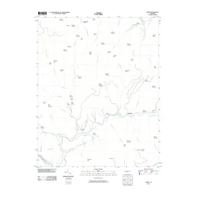
2010 Map of Gobey
USGS Topo · Published 2010About this map
The Emory River serves as the central artery for this portion of Morgan County, carving a winding path through a landscape defined by prominent ridges like Richland Mountain and Fork Mountain. Rural life and local history are anchored by legacy sites such as Elizabeth Church and its nearby Elizabeth Cemetery, while the settlement of Oak Hill sits along the Emory River corridor. The geography of the region is punctuated by numerous named gaps and knobs, including Jeff Gap and Pond Knob, which historically dictated the movement of residents and commerce.
Find a feature on this map
93 named features on this map. Tap any name to fly to it.
Don’t see what you’re looking for? This feature index may not catch every label — zoom into the map to look around manually.
Map Details
Editions of this 2010 Gobey Map
This is the sole edition of this map. No revisions or reprints were ever made.
Other maps of this area

1893 · Briceville
USGS Topo · 1:125,000

1895 · Wartburg
USGS Topo · 1:125,000

1895 · Briceville
USGS Topo · 1:125,000

1896 · Wartburg
USGS Topo · 1:125,000

1896 · Briceville
USGS Topo · 1:125,000

1935 · Gobey
USGS Topo · 1:24,000

1935 · Camp Austin
USGS Topo · 1:24,000

1935 · Lancing
USGS Topo · 1:24,000

1935 · Pilot Mountain
USGS Topo · 1:24,000

1936 · Hogbell Gap
USGS Topo · 1:24,000