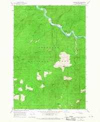
1966 Map of Goddard Point
USGS Topo · Published 1968About this map
The Selway River carves a deep, winding corridor through this section of the Nez Perce National Forest, serving as the primary artery for activity in the mid-1960s. Along the river's banks, infrastructure for forest management and public service is evident, anchored by the Fenn Ranger Station and the Cedar Flats Job Corps Center. This era of federal investment in the wilderness is further illustrated by the presence of the Hara Youth Camp and the O'Hara Campground near the confluence of O'Hara Creek. Away from the water, the landscape rises sharply to prominent lookouts like Goddard Point and Peterson Point. Movement through the high country relies on an extensive network of Pack Trails, connecting remote drainages such as Hamby Fork and Swiftwater Creek. The map documents a period when the river was marked by river-mile markers like Mile 100 and Mile 105, and the administrative presence was firmly established in the back country.
Find a feature on this map
33 named features on this map. Tap any name to fly to it.
Don’t see what you’re looking for? This feature index may not catch every label — zoom into the map to look around manually.
Map Details
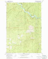
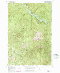
Editions of this 1966 Goddard Point Map
3 editions found
Other maps of this area

1911 · Lolo
USGS Topo · 1:250,000

1913 · Lolo
USGS Topo · 1:250,000

1924 · Weippe
USGS Topo · 1:125,000

1931 · Buffalo Hump
USGS Topo · 1:125,000

1934 · Buffalo Hump
USGS Topo · 1:125,000

1956 · Elk City
USGS Topo · 1:250,000

1956 · Hamilton
USGS Topo · 1:250,000

1959 · Hamilton
USGS Topo · 1:250,000

1960 · Elk City
USGS Topo · 1:250,000

1960 · Hamilton
USGS Topo · 1:250,000