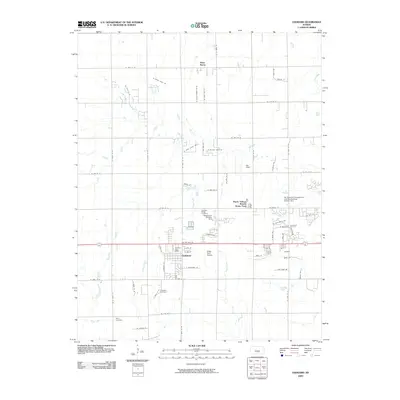
2009 Map of Goddard
USGS Topo · Published 2009About this map
Goddard serves as a central hub on this Sedgwick County landscape, showing the town's residential expansion near the Goddard Post Office and along the local highway corridor. To the north, the small settlement of Saint Marks anchors a grid of agricultural roads and section lines. The map reveals a transition from traditional farming to specialized land use, evidenced by the Tanganyika Wildlife Park and the Miller Farm Airport.
Find a feature on this map
67 named features on this map. Tap any name to fly to it.
Don’t see what you’re looking for? This feature index may not catch every label — zoom into the map to look around manually.
Map Details
Editions of this 2009 Goddard Map
This is the sole edition of this map. No revisions or reprints were ever made.
Other maps of this area

1889 · Cheney
USGS Topo · 1:125,000

1889 · Wichita
USGS Topo · 1:125,000

1891 · Cheney
USGS Topo · 1:125,000

1894 · Wichita
USGS Topo · 1:125,000

1901 · Cheney
USGS Topo · 1:125,000

1941 · Maize
USGS Topo · 1:31,680

1942 · Maize
USGS Topo · 1:31,680

1943 · Wichita West
USGS Topo · 1:31,680

1943 · Bayneville
USGS Topo · 1:31,680

1950 · Bayneville
USGS Topo · 1:24,000