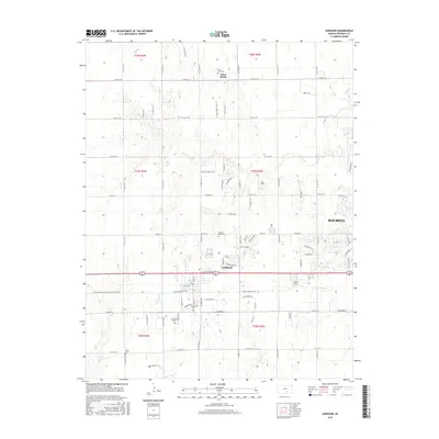
2015 Map of Goddard
USGS Topo · Published 2015About this map
Goddard serves as the central hub of this Sedgwick County landscape, showing the transition from the expanding western edge of Wichita to the agricultural plains of Kansas. The town layout is defined by its industrial core along E Industrial St and its recreational conversion of former rail corridors into the Prairie Sunset Trail. Further north, the smaller settlement of Saint Marks anchor the rural sections, surrounded by a network of sectional roads and family-owned farmsteads.
Find a feature on this map
39 named features on this map. Tap any name to fly to it.
Don’t see what you’re looking for? This feature index may not catch every label — zoom into the map to look around manually.
Map Details
Editions of this 2015 Goddard Map
This is the sole edition of this map. No revisions or reprints were ever made.
Other maps of this area
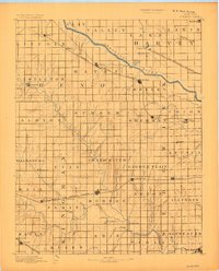
1889 · Cheney
USGS Topo · 1:125,000
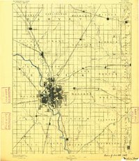
1889 · Wichita
USGS Topo · 1:125,000
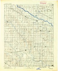
1891 · Cheney
USGS Topo · 1:125,000
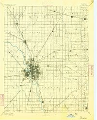
1894 · Wichita
USGS Topo · 1:125,000
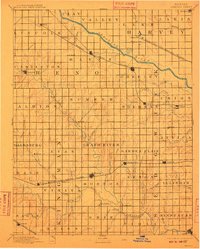
1901 · Cheney
USGS Topo · 1:125,000
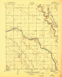
1941 · Maize
USGS Topo · 1:31,680
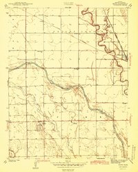
1942 · Maize
USGS Topo · 1:31,680
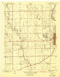
1943 · Wichita West
USGS Topo · 1:31,680
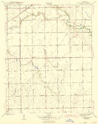
1943 · Bayneville
USGS Topo · 1:31,680
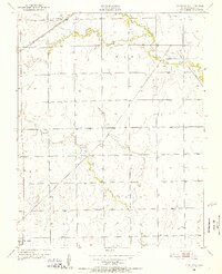
1950 · Bayneville
USGS Topo · 1:24,000