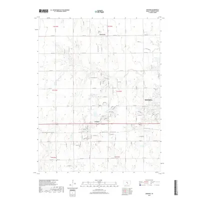
2018 Map of Goddard
USGS Topo · Published 2018About this map
The growing community of Goddard serves as a central hub in this western Sedgwick County landscape, where suburban expansion meets long-standing rural agricultural roots. The map documents a transition in land use as residential developments and street grids from Wichita push westward, encroaching upon established farming sections. This evolution is anchored by several historic burial grounds, including Saint Mark Cem near the settlement of Saint Marks, as well as Pleasant Ridge Cem and Afton Cem. The natural drainage of Dry Cr and Afton Cr provides a topographical contrast to the increasingly dense network of local roads and thoroughfares. For those studying local heritage, the inclusion of the Prairie Sunset Trail and aviation landmarks like Eck Field illustrates the layering of transportation history over the prairie, from early rails-to-trails corridors to private airstrips.
Find a feature on this map
40 named features on this map. Tap any name to fly to it.
Don’t see what you’re looking for? This feature index may not catch every label — zoom into the map to look around manually.
Map Details
Editions of this 2018 Goddard Map
This is the sole edition of this map. No revisions or reprints were ever made.
Other maps of this area
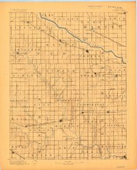
1889 · Cheney
USGS Topo · 1:125,000
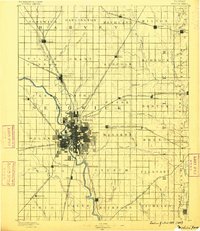
1889 · Wichita
USGS Topo · 1:125,000
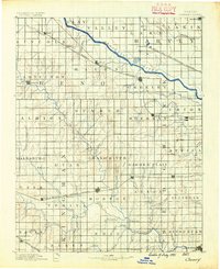
1891 · Cheney
USGS Topo · 1:125,000
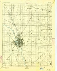
1894 · Wichita
USGS Topo · 1:125,000
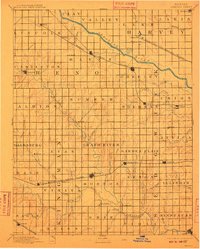
1901 · Cheney
USGS Topo · 1:125,000
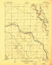
1941 · Maize
USGS Topo · 1:31,680
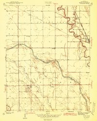
1942 · Maize
USGS Topo · 1:31,680
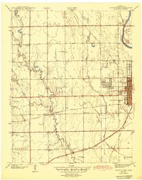
1943 · Wichita West
USGS Topo · 1:31,680
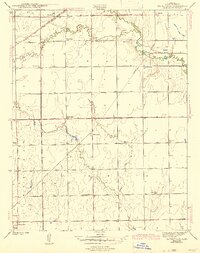
1943 · Bayneville
USGS Topo · 1:31,680
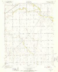
1950 · Bayneville
USGS Topo · 1:24,000