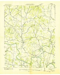
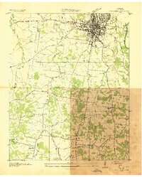
1936 Map of Godwin
USGS Topo · Published 1936About this map
The Duck River winds through Maury County in this mid-1930s survey, defining a landscape shaped by narrow valley bends and rural crossroads. The settlement of Godwin serves as a local hub near the confluence of Rutherford Creek and the river, situated along the Louisville and Nashville Railroad. This era shows a community tightly knit by its institutions, with numerous one-room schools like Athendale Sch and Harlen Sch and country churches such as Godwin Chappell Ch and Lotts Chapel serving the surrounding farms and hollows.
Find a feature on this map
59 named features on this map. Tap any name to fly to it.
Don’t see what you’re looking for? This feature index may not catch every label — zoom into the map to look around manually.
Map Details
Editions of this 1936 Godwin Map
This is the sole edition of this map. No revisions or reprints were ever made.
Other maps of this area

1901 · Colombia
USGS Topo · 1:125,000

1909 · Franklin
USGS Topo · 1:62,500
1936 · Williamsport
USGS Topo · 1:24,000
1936 · Primm
USGS Topo · 1:24,000
1936 · Spring Hill
USGS Topo · 1:24,000
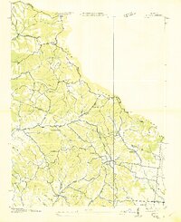
1936 · Theta
USGS Topo · 1:24,000
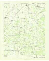
1936 · Carters Creek
USGS Topo · 1:24,000
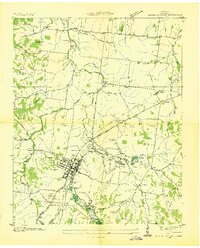
1936 · Mount Pleasant
USGS Topo · 1:24,000
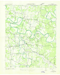
1936 · Glendale
USGS Topo · 1:24,000
1936 · Columbia
USGS Topo · 1:24,000