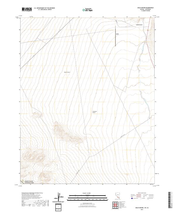
2021 Map of Gold Center
USGS Topo · Published 2021About this map
Gold Center sits at the northern edge of this arid Nevada landscape, positioned where the Amargosa River cuts through the desert floor. The terrain here transitions between the Mojave Desert and the Amargosa Desert, characterized by wide alluvial basins and the rising slopes that lead toward the southwest corner of the map. This area is defined by its isolation and strategic infrastructure, including the Beatty Airport and a network of desert routes such as Airport Rd and the Cloride Cliff Rd.
Find a feature on this map
18 named features on this map. Tap any name to fly to it.
Don’t see what you’re looking for? This feature index may not catch every label — zoom into the map to look around manually.
Map Details
Editions of this 2021 Gold Center Map
This is the sole edition of this map. No revisions or reprints were ever made.
Other maps of this area

1908 · Furnace Creek
USGS Topo · 1:250,000

1910 · Furnace Creek
USGS Topo · 1:250,000

1942 · Bullfrog
USGS Topo · 1:125,000

1948 · Death Valley
USGS Topo · 1:250,000

1952 · Chloride Cliff
USGS Topo · 1:50,000

1952 · Big Dune
USGS Topo · 1:62,500

1954 · Bare Mtn
USGS Topo · 1:62,500

1954 · Bullfrog
USGS Topo · 1:62,500

1954 · Death Valley
USGS Topo · 1:250,000

1956 · Death Valley
USGS Topo · 1:250,000