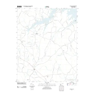
2011 Map of Gold Hill
USGS Topo · Published 2011About this map
Gold Hill and the surrounding Rowan County landscape are defined by a network of creeks feeding into the Yadkin River and the sprawling backwaters of Second Creek. This 2011 survey captures the area's rural character, where small settlements like Liberty are connected by a web of local routes such as Stokes Ferry RD and Bringle Ferry RD. The geography is deeply tied to its community landmarks, featuring several historic congregational sites including Saint Peters Church and Saint Stephens Church, alongside family and community burial grounds like Morgan Cemetery and the Gold Hill Cemetery.
Find a feature on this map
76 named features on this map. Tap any name to fly to it.
Don’t see what you’re looking for? This feature index may not catch every label — zoom into the map to look around manually.
Map Details
Editions of this 2011 Gold Hill Map
This is the sole edition of this map. No revisions or reprints were ever made.
Other maps of this area

1949 · High Rock
USGS Topo · 1:24,000

1949 · Denton NW
USGS Topo · 1:24,000

1953 · Charlotte
USGS Topo · 1:250,000

1954 · Charlotte
USGS Topo · 1:250,000

1957 · Mount Pleasant
USGS Topo · 1:62,500

1957 · Albemarle
USGS Topo · 1:62,500

1957 · Denton
USGS Topo · 1:62,500

1960 · Charlotte
USGS Topo · 1:250,000

1962 · Charlotte
USGS Topo · 1:250,000

1962 · Southmont
USGS Topo · 1:24,000