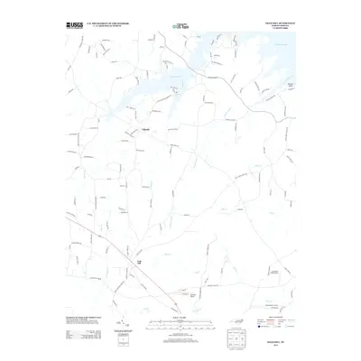
2013 Map of Gold Hill
USGS Topo · Published 2013About this map
The community of Gold Hill anchors this 2013 topographic study, situated along the Rowan Stanley Co Line in North Carolina. To the north, the settlement of Liberty sits near the sprawling fingers of High Rock Lake, which dominates the upper portion of the quadrangle. The terrain is defined by a dense network of local creeks including Riles Cr, Panther Point Cr, and Reedy Cr, flowing through a landscape of family-named roads and rural infrastructure. Small-scale aviation is represented by Gold Hill Airport and Lonesome Field Airport, while the area's spiritual geography is preserved in road names like Saint Stephens Church Rd and Baptist Church Rd. This map captures the modern rural character of the region, showing how contemporary development and recreational water features have integrated with long-standing property lines and watercourses.
Find a feature on this map
124 named features on this map. Tap any name to fly to it.
Don’t see what you’re looking for? This feature index may not catch every label — zoom into the map to look around manually.
Map Details
Editions of this 2013 Gold Hill Map
This is the sole edition of this map. No revisions or reprints were ever made.
Other maps of this area

1949 · High Rock
USGS Topo · 1:24,000

1949 · Denton NW
USGS Topo · 1:24,000

1953 · Charlotte
USGS Topo · 1:250,000

1954 · Charlotte
USGS Topo · 1:250,000

1957 · Mount Pleasant
USGS Topo · 1:62,500

1957 · Albemarle
USGS Topo · 1:62,500

1957 · Denton
USGS Topo · 1:62,500

1960 · Charlotte
USGS Topo · 1:250,000

1962 · Charlotte
USGS Topo · 1:250,000

1962 · Southmont
USGS Topo · 1:24,000