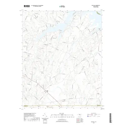
2019 Map of Gold Hill
USGS Topo · Published 2019About this map
The community of Gold Hill serves as a focal point in this southern Rowan County landscape, where the convergence of Rowan, Cabarrus, and Stanly counties creates a complex network of property and jurisdictional lines. The area is defined by its numerous watercourses, including the westward-flowing Little Buffalo Cr and Riles Cr, which drain the undulating terrain toward larger basins. To the north, the shoreline near Panther Point shows the modern character of the land as it meets the water, while interior landmarks like Lonesome Field and Gold Hill Airport speak to more recent land use patterns. Genealogists and local historians will find value in the clear positioning of Saint Peters Cem, Morgan Cem, and the Gold Hill Cem, which sit alongside historic transit routes like Bringle Ferry Rd and Stokes Ferry Rd.
Find a feature on this map
117 named features on this map. Tap any name to fly to it.
Don’t see what you’re looking for? This feature index may not catch every label — zoom into the map to look around manually.
Map Details
Editions of this 2019 Gold Hill Map
This is the sole edition of this map. No revisions or reprints were ever made.
Other maps of this area

1949 · High Rock
USGS Topo · 1:24,000

1949 · Denton NW
USGS Topo · 1:24,000

1953 · Charlotte
USGS Topo · 1:250,000

1954 · Charlotte
USGS Topo · 1:250,000

1957 · Mount Pleasant
USGS Topo · 1:62,500

1957 · Albemarle
USGS Topo · 1:62,500

1957 · Denton
USGS Topo · 1:62,500

1960 · Charlotte
USGS Topo · 1:250,000

1962 · Charlotte
USGS Topo · 1:250,000

1962 · Southmont
USGS Topo · 1:24,000