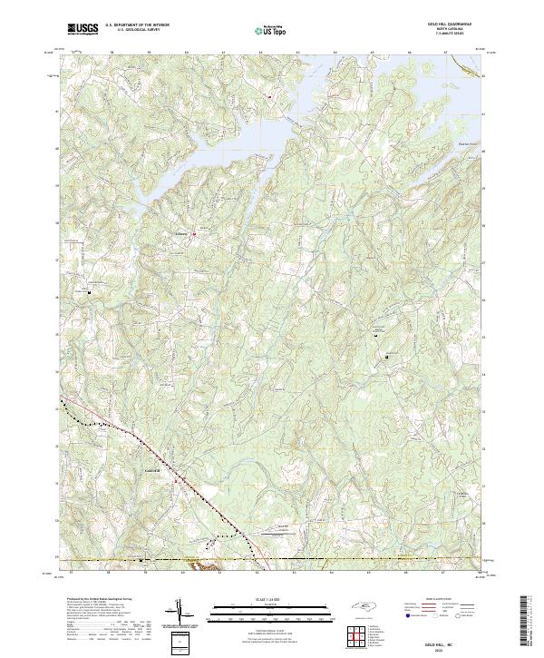
2022 Map of Gold Hill
USGS Topo · Published 2022About this map
Gold Hill Cem and Saint Stephens Church anchor the southern landscape where Rowan, Cabarrus, and Stanly counties converge. This 2022 survey captures a rural North Carolina terrain defined by the winding tributaries of the Yadkin River, including Second Creek and Reedy Creek. The presence of several family and community burial grounds, such as Morgan Cem and the East Corinth Baptist Church Cem, provides significant data for genealogists tracing local lineage near settlements like Liberty. To the north, the terrain rises toward Gold Knob and the shores of fragmented water bodies, while the Gold Hill Airport serves as a modern landmark amidst a network of traditional farm-to-market roads. The map illustrates a transition between agricultural land and growing residential clusters along Stokes Ferry Rd.
Find a feature on this map
126 named features on this map. Tap any name to fly to it.
Don’t see what you’re looking for? This feature index may not catch every label — zoom into the map to look around manually.
Map Details
Editions of this 2022 Gold Hill Map
This is the sole edition of this map. No revisions or reprints were ever made.
Other maps of this area

1949 · High Rock
USGS Topo · 1:24,000

1949 · Denton NW
USGS Topo · 1:24,000

1953 · Charlotte
USGS Topo · 1:250,000

1954 · Charlotte
USGS Topo · 1:250,000

1957 · Mount Pleasant
USGS Topo · 1:62,500

1957 · Albemarle
USGS Topo · 1:62,500

1957 · Denton
USGS Topo · 1:62,500

1960 · Charlotte
USGS Topo · 1:250,000

1962 · Charlotte
USGS Topo · 1:250,000

1962 · Southmont
USGS Topo · 1:24,000