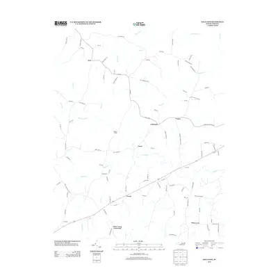
2013 Map of Gold Sand
USGS Topo · Published 2013About this map
Sukey Young Crossroads and Gold Sand anchor this part of Franklin County, where the landscape is defined by a network of rural roads and numerous creek branches. The topography is shaped by the southern flow of water toward Sandy Cr and Richland Cr, with the latter featuring the evocatively named Devils Cradle Cr. Historical land use is evident in naming conventions such as Persons Bridge and various school roads. Small settlements like Gupton and Alert are linked by local connectors such as Gold Sand Rd and Alert Rd, illustrating a traditional North Carolina Piedmont settlement pattern centered around key intersections. Further south, the community of White Level sits near the headwaters of Sycamore Cr, maintaining its character as a quiet rural hub into the twenty-first century.
Find a feature on this map
96 named features on this map. Tap any name to fly to it.
Don’t see what you’re looking for? This feature index may not catch every label — zoom into the map to look around manually.
Map Details
Editions of this 2013 Gold Sand Map
This is the sole edition of this map. No revisions or reprints were ever made.
Other maps of this area

1953 · Greensboro
USGS Topo · 1:250,000

1954 · Greensboro
USGS Topo · 1:250,000

1962 · Greensboro
USGS Topo · 1:250,000

1966 · Greensboro
USGS Topo · 1:250,000

1970 · Vicksboro
USGS Topo · 1:24,000

1971 · Inez
USGS Topo · 1:24,000

1971 · Afton
USGS Topo · 1:24,000
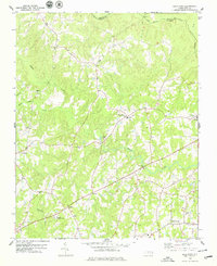
1978 · Gold Sand
USGS Topo · 1:24,000
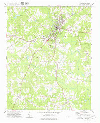
1978 · Louisburg
USGS Topo · 1:24,000
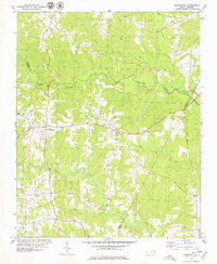
1978 · Centerville
USGS Topo · 1:24,000