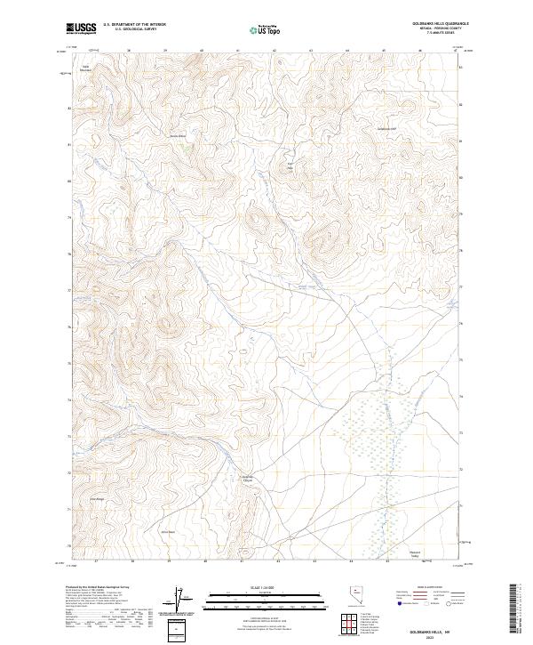
2023 Map of Goldbanks Hills
USGS Topo · Published 2023About this map
Goldbanks Hills and the East Range anchor this portion of the Pershing County landscape, where the high desert terrain is defined by a network of seasonal watercourses and secluded basins. The area is marked by distinctive topographical landmarks such as Table Mountain and Devils Elbow, which overlook the winding paths of Wilder Creek and Home Creek. The drainage patterns suggest a landscape shaped by intermittent flows, particularly evident where Bartomes Creek and Sweeney Canyon cut through the western slopes. Toward the southeast, the terrain opens into Pleasant Valley, near the site of Coyote Springs. This modern survey illustrates the enduring spatial relationship between these named geological features and the grazing or mining access points found in Johns Basin, reflecting the sparse but functional geography typical of Nevada's high basins.
Find a feature on this map
19 named features on this map. Tap any name to fly to it.
Don’t see what you’re looking for? This feature index may not catch every label — zoom into the map to look around manually.
Map Details
Editions of this 2023 Goldbanks Hills Map
This is the sole edition of this map. No revisions or reprints were ever made.
Other maps of this area

1932 · Sonoma Range
USGS Topo · 1:250,000

1939 · Sonoma Range
USGS Topo · 1:250,000

1955 · Winnemucca
USGS Topo · 1:250,000

1958 · Winnemucca
USGS Topo · 1:250,000
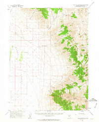
1961 · Kyle Hot Springs
USGS Topo · 1:62,500

1961 · Mt. Tobin
USGS Topo · 1:62,500

1961 · Leach Hot Springs
USGS Topo · 1:62,500

1961 · Dun Glen
USGS Topo · 1:62,500

1962 · Winnemucca
USGS Topo · 1:250,000

1982 · Fish Creek Mts
USGS Topo · 1:100,000